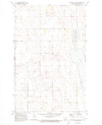
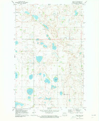
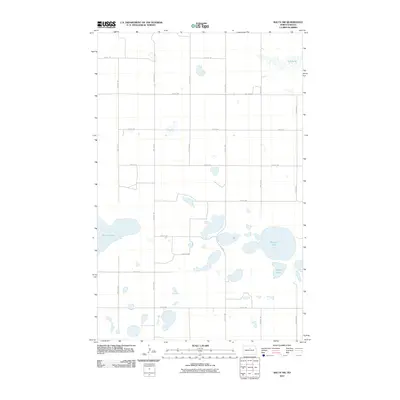
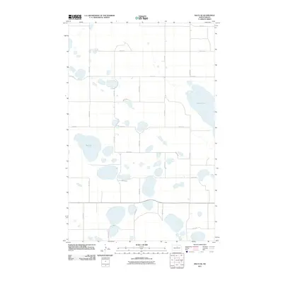
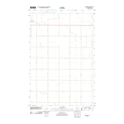
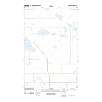
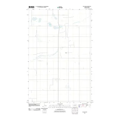
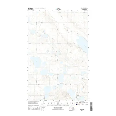
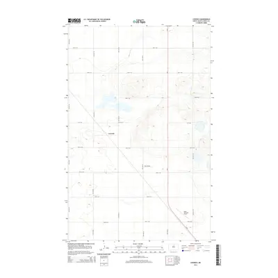
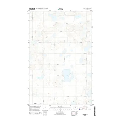
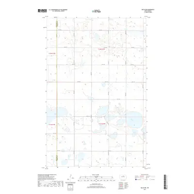
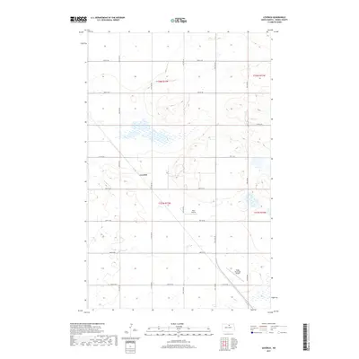
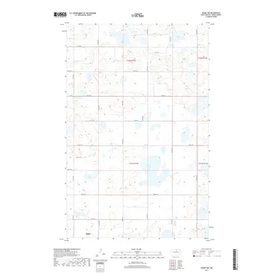
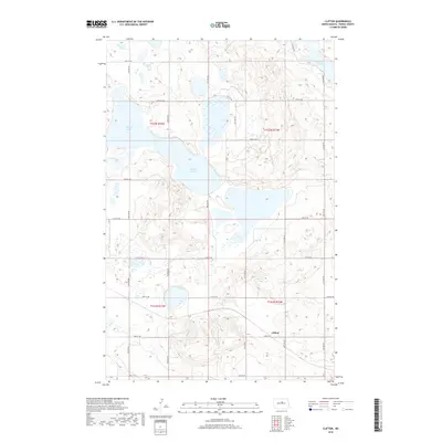
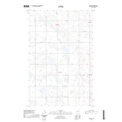
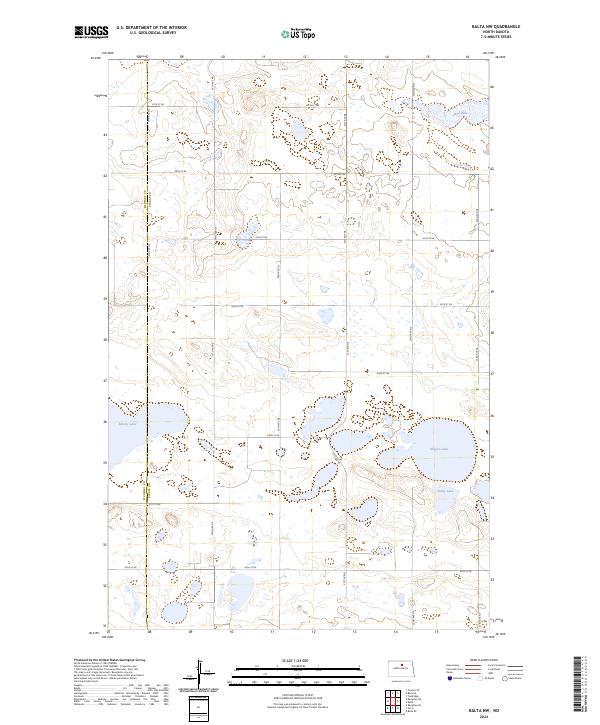
1958 Map of Balta NW
USGS Topo · Published 1959About this map
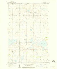
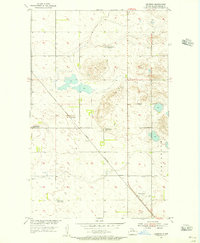
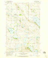
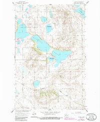
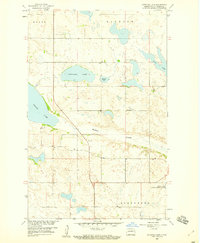
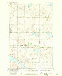
Kilgore Lake and the surrounding prairie of North Dakota's McHenry and Pierce County line are documented here during the late 1950s. The landscape is defined by its glacial potholes and small water bodies, including Red Lake, Stony Lake, and Smoky Lake. This area was primarily organized around rural school districts, a pattern typical of mid-century Great Plains agriculture. Educational hubs such as Sandale Sch No 1 and German Sch No 3 served the local farming families, though the transition toward larger districts is already evident with the notation of Sandale Sch No 3 as an abandoned site. A small Gravel Pit represents one of the few departures from the dominant agricultural and natural terrain of Jefferson and Gorman townships.
Find a feature on this map
12 named features on this map. Tap any name to fly to it.
Don’t see what you’re looking for? This feature index may not catch every label — zoom into the map to look around manually.
Map Details
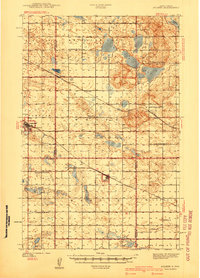
Editions of this 1958 Balta NW Map
This is the sole edition of this map. No revisions or reprints were ever made.
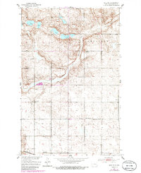
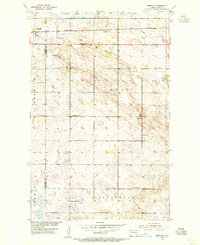
Historical Maps of McHenry County Through Time
79 maps found
1940 Aylmer
Pierce County, ND
1951 Selz NW
Pierce County, ND
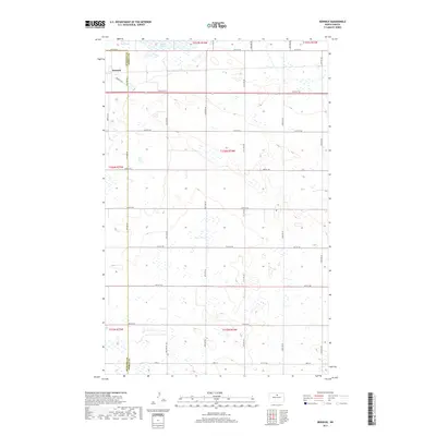
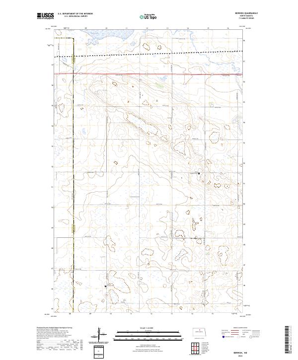
1954 Berwick
Pierce County, ND
1954 Leverich
Pierce County, ND
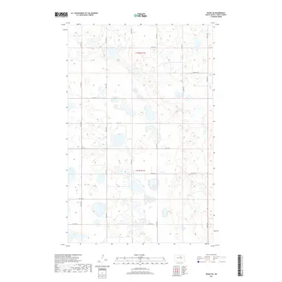
1954 Round Lake
Pierce County, ND
1954 Rugby NW
Pierce County, ND
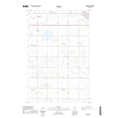
1954 Tunbridge
Pierce County, ND
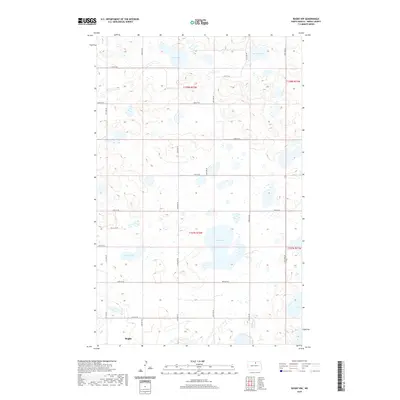
1958 Balta NW
Pierce County, ND
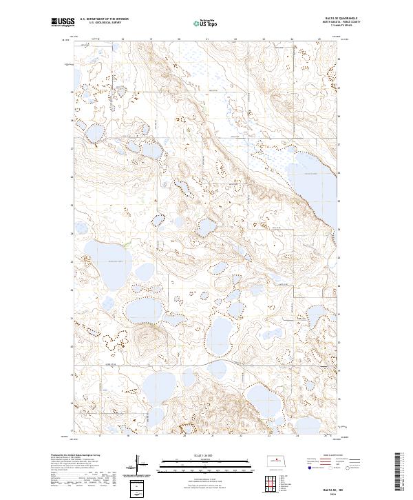
1958 Balta SE
Pierce County, ND
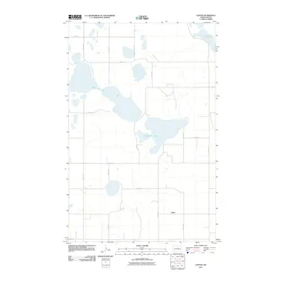
1958 Clifton
Pierce County, ND
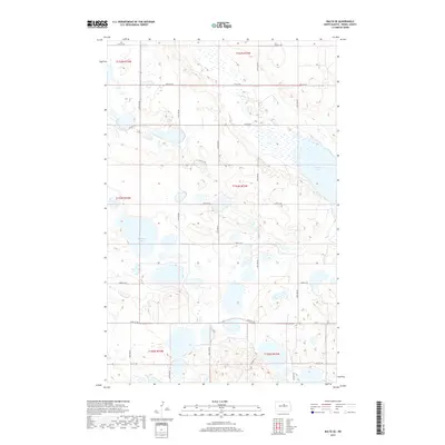
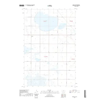
1958 Petrified Lake
Pierce County, ND
1958 Silva
Pierce County, ND
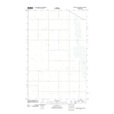
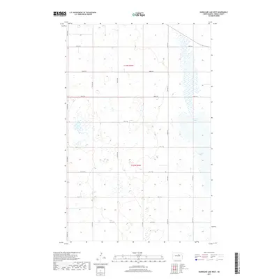
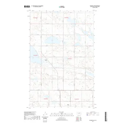
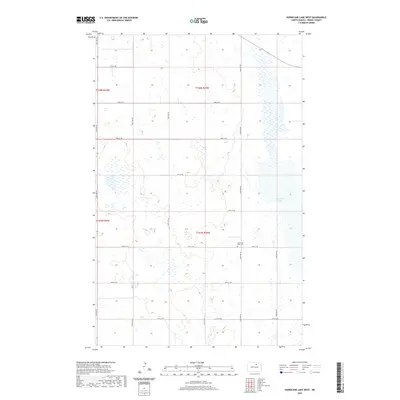
1971 Hurricane Lake West
Pierce County, ND
1971 Rugby NE
Pierce County, ND
2011 Balta NW
Pierce County, ND
2011 Balta SE
Pierce County, ND
2011 Berwick
Pierce County, ND
2011 Clifton
Pierce County, ND
2011 Hurricane Lake West
Pierce County, ND
2011 Leverich
Pierce County, ND
2011 Petrified Lake
Pierce County, ND
2011 Round Lake
Pierce County, ND
2011 Rugby NE
Pierce County, ND
2011 Rugby NW
Pierce County, ND
2011 Selz NW
Pierce County, ND
2011 Silva
Pierce County, ND
2011 Tunbridge
Pierce County, ND
2014 Balta NW
Pierce County, ND
2014 Balta SE
Pierce County, ND
2014 Berwick
Pierce County, ND
2014 Clifton
Pierce County, ND
2014 Hurricane Lake West
Pierce County, ND
2014 Leverich
Pierce County, ND
2014 Petrified Lake
Pierce County, ND
2014 Round Lake
Pierce County, ND
2014 Rugby NE
Pierce County, ND
2014 Rugby NW
Pierce County, ND
2014 Selz NW
Pierce County, ND
2014 Silva
Pierce County, ND
2014 Tunbridge
Pierce County, ND
2017 Balta NW
Pierce County, ND
2017 Balta SE
Pierce County, ND
2017 Berwick
Pierce County, ND
2017 Hurricane Lake West
Pierce County, ND
2017 Leverich
Pierce County, ND
2017 Petrified Lake
Pierce County, ND
2017 Round Lake
Pierce County, ND
2017 Rugby NE
Pierce County, ND
2017 Rugby NW
Pierce County, ND
2017 Selz NW
Pierce County, ND
2017 Silva
Pierce County, ND
2017 Tunbridge
Pierce County, ND
2018 Clifton
Pierce County, ND

2020 Balta NW
Pierce County, ND
2020 Balta SE
Pierce County, ND
2020 Berwick
Pierce County, ND
2020 Clifton
Pierce County, ND
2020 Hurricane Lake West
Pierce County, ND
2020 Leverich
Pierce County, ND
2020 Petrified Lake
Pierce County, ND
2020 Round Lake
Pierce County, ND
2020 Rugby NE
Pierce County, ND
2020 Rugby NW
Pierce County, ND
2020 Selz NW
Pierce County, ND
2020 Silva
Pierce County, ND
2020 Tunbridge
Pierce County, ND
2024 Balta NW
Pierce County, ND
2024 Balta SE
Pierce County, ND
2024 Berwick
Pierce County, ND
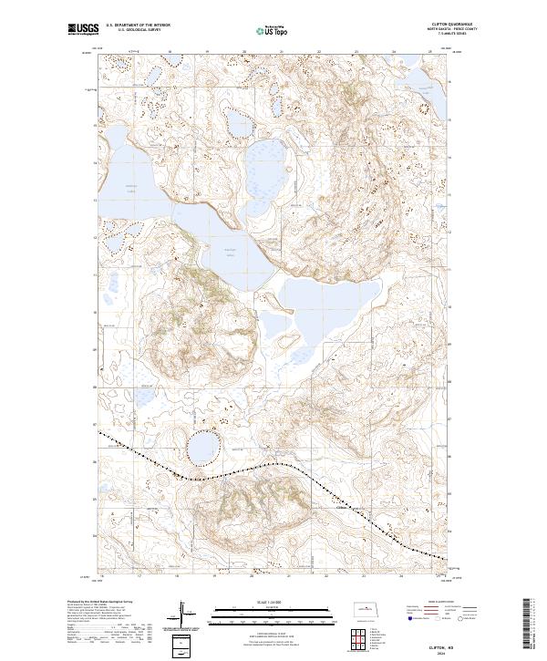
2024 Clifton
Pierce County, ND
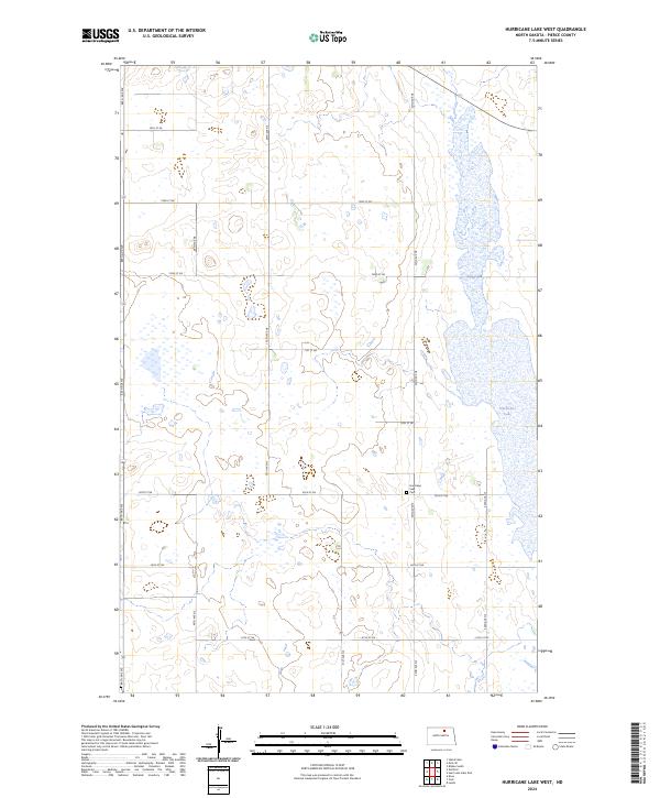
2024 Hurricane Lake West
Pierce County, ND
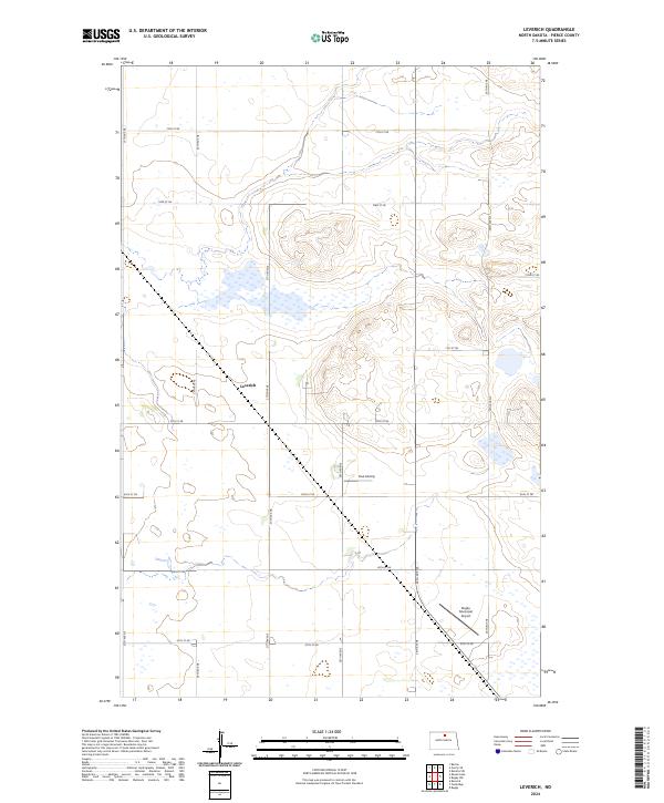
2024 Leverich
Pierce County, ND
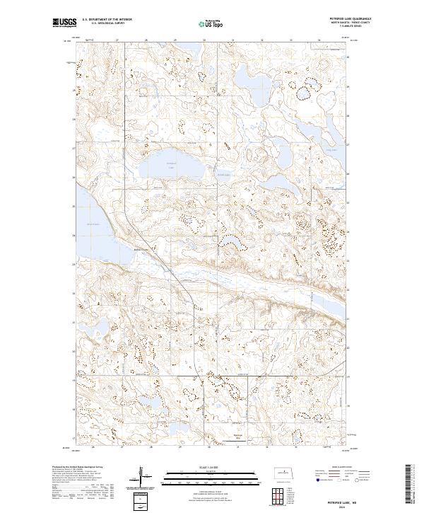
2024 Petrified Lake
Pierce County, ND
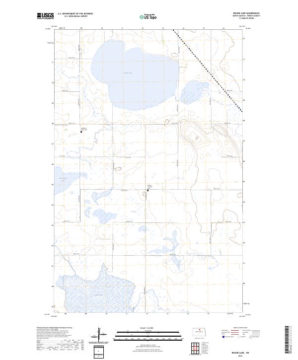
2024 Round Lake
Pierce County, ND
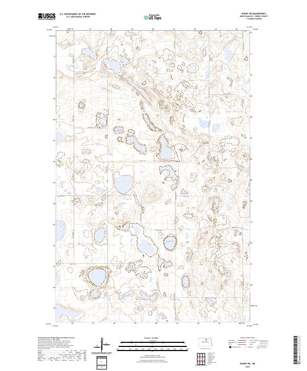
2024 Rugby NE
Pierce County, ND
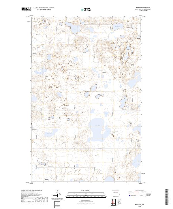
2024 Rugby NW
Pierce County, ND

2024 Selz NW
Pierce County, ND
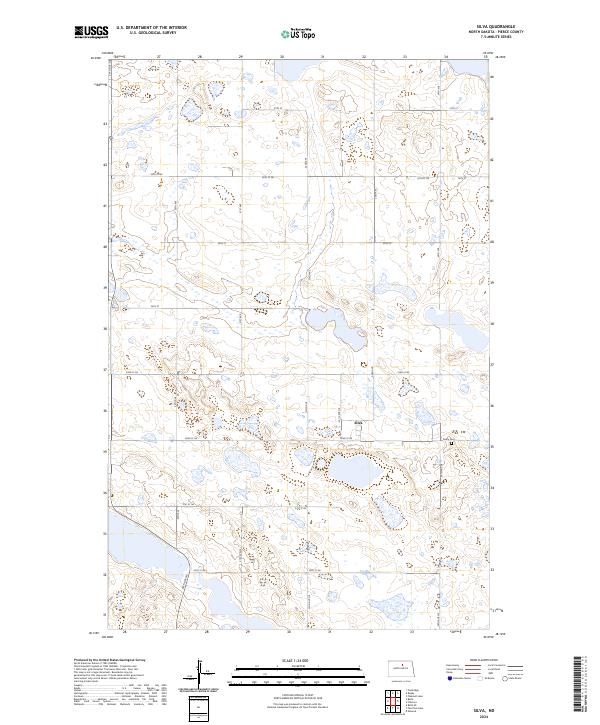
2024 Silva
Pierce County, ND
2024 Tunbridge
Pierce County, ND