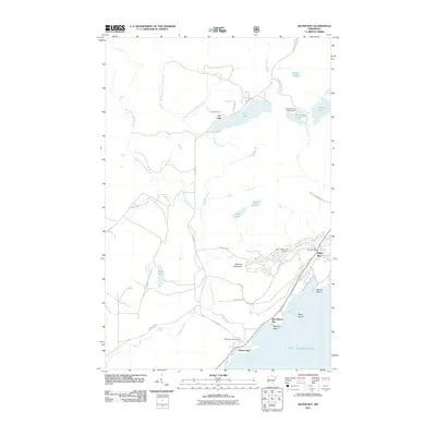
2011 Map of Silver Bay
USGS Topo · Published 2011About this map
Lake Superior defines the southeastern edge of this coastal survey, where the settlements of Silver Bay and Beaver Bay sit perched above the water. The landscape is characterized by a dense network of inland waters and dramatic elevation changes, notably at Mariner Mountain and the cascading Beaver River Falls. To the northeast, Tettegouche State Park encompasses a series of high-elevation lakes including Nicado Lake, Tetagouche Lake, and Micmac Lake. The drainage patterns are intricate, with Fortythree Creek and the East Branch Beaver River cutting through the terrain. Civic life is anchored by the Silver Bay Post Office and the Silver Bay City Library, while the surrounding geography is marked by distinctive features like Pancake Falls and Wieland Island in East Beaver Bay.
Find a feature on this map
38 named features on this map. Tap any name to fly to it.
Don’t see what you’re looking for? This feature index may not catch every label — zoom into the map to look around manually.
Map Details
Editions of this 2011 Silver Bay Map
This is the sole edition of this map. No revisions or reprints were ever made.
Other maps of this area

1954 · Silver Bay
USGS Topo · 1:62,500

1954 · Two Harbors
USGS Topo · 1:250,000

1956 · Split Rock Point
USGS Topo · 1:24,000

1956 · Finland
USGS Topo · 1:24,000

1956 · Finland
USGS Topo · 1:62,500

1956 · Illgen City
USGS Topo · 1:24,000

1956 · Split Rock Point
USGS Topo · 1:62,500

1956 · Split Rock Point NE
USGS Topo · 1:24,000

1957 · Two Harbors
USGS Topo · 1:250,000

1958 · Two Harbors
USGS Topo · 1:250,000