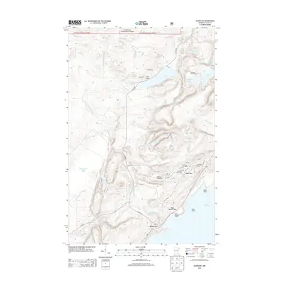
2013 Map of Silver Bay
USGS Topo · Published 2013About this map
Silver Bay and its connection to the industrial landscape of the North Shore are clearly visible in this survey of the Lake Superior coast. The town sits between the water and the rising height of Mariner Mountain, shaped by its residential streets like Edison Blvd and Banks Blvd. To the northwest, the large Milepost Seven Tailings Ponds indicate the scale of the region's mining operations, contrasting with the wilderness preserved in the Superior National Forest and Tetagouche Lake Campground. The rugged topography is defined by the descent of the Beaver River and E Br Beaver River toward the lake, featuring drops at Glenn Avon Falls and Beaver River Falls. Small clusters of development at Lax Lake and the older coastal site of Beaver Bay show the varied layers of North Shore settlement near Wieland Island and Pellet Island.
Find a feature on this map
52 named features on this map. Tap any name to fly to it.
Don’t see what you’re looking for? This feature index may not catch every label — zoom into the map to look around manually.
Map Details
Editions of this 2013 Silver Bay Map
This is the sole edition of this map. No revisions or reprints were ever made.
Other maps of this area

1954 · Silver Bay
USGS Topo · 1:62,500

1954 · Two Harbors
USGS Topo · 1:250,000

1956 · Split Rock Point
USGS Topo · 1:24,000

1956 · Finland
USGS Topo · 1:24,000

1956 · Finland
USGS Topo · 1:62,500

1956 · Illgen City
USGS Topo · 1:24,000

1956 · Split Rock Point
USGS Topo · 1:62,500

1956 · Split Rock Point NE
USGS Topo · 1:24,000

1957 · Two Harbors
USGS Topo · 1:250,000

1958 · Two Harbors
USGS Topo · 1:250,000