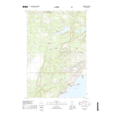
2019 Map of Silver Bay
USGS Topo · Published 2019About this map
Lake Superior dominates the southeastern edge of this coastal landscape, where the iron-ore shipping hub of Silver Bay sits perched above the water. The town's modern grid is defined by streets like Penn Blvd and Outer Dr, while the Silver Bay City Library serves as a central civic landmark. This survey documents the area just as the North Shore's industrial and recreational identities became deeply intertwined, with the sprawling Superior National Forest bordering the developed areas of Beaver Bay and East Beaver Bay.
Find a feature on this map
68 named features on this map. Tap any name to fly to it.
Don’t see what you’re looking for? This feature index may not catch every label — zoom into the map to look around manually.
Map Details
Editions of this 2019 Silver Bay Map
This is the sole edition of this map. No revisions or reprints were ever made.
Other maps of this area

1954 · Silver Bay
USGS Topo · 1:62,500

1954 · Two Harbors
USGS Topo · 1:250,000

1956 · Split Rock Point
USGS Topo · 1:24,000

1956 · Finland
USGS Topo · 1:24,000

1956 · Finland
USGS Topo · 1:62,500

1956 · Illgen City
USGS Topo · 1:24,000

1956 · Split Rock Point
USGS Topo · 1:62,500

1956 · Split Rock Point NE
USGS Topo · 1:24,000

1957 · Two Harbors
USGS Topo · 1:250,000

1958 · Two Harbors
USGS Topo · 1:250,000