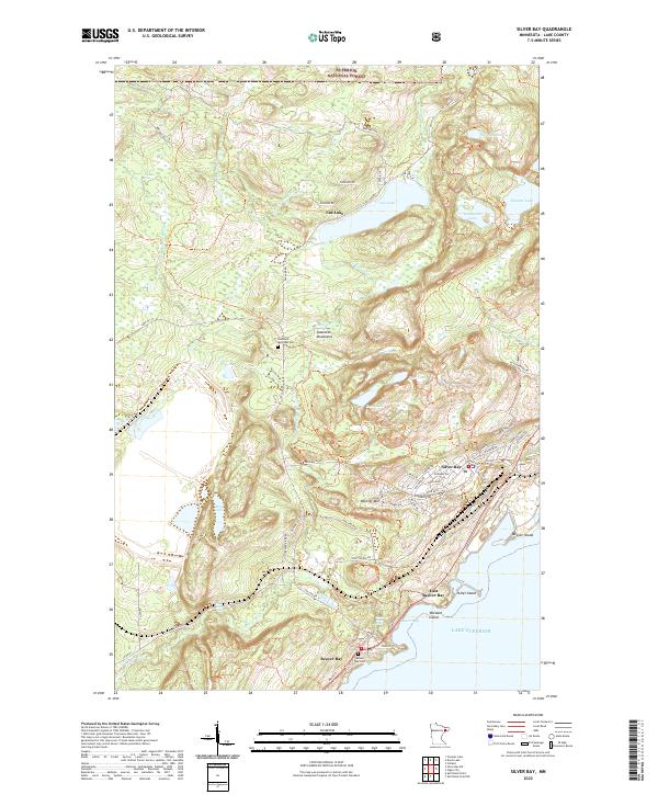
2022 Map of Silver Bay
USGS Topo · Published 2022About this map
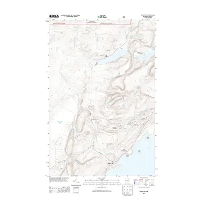
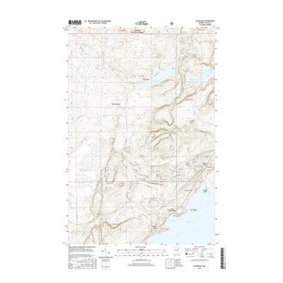
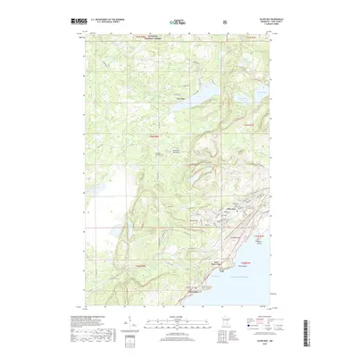
Lake Superior dominates the southeastern edge of this terrain, where the established port of Silver Bay and the historic settlement of Beaver Bay meet the water. The landscape is defined by the sharp rise of the Sawtooth Mountains, including the prominent Mariner Mtn, which overlook a complex network of inland waterways such as Lax Lake, Bear Lake, and Micmac Lake. This 2022 survey illustrates the modern layout of these North Shore communities, showing the grid of Silver Bay positioned between the mountains and the lakefront.
Find a feature on this map
71 named features on this map. Tap any name to fly to it.
Don’t see what you’re looking for? This feature index may not catch every label — zoom into the map to look around manually.
Map Details
Editions of this 2022 Silver Bay Map
This is the sole edition of this map. No revisions or reprints were ever made.
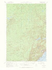
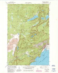
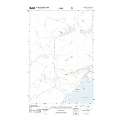
Historical Maps of Silver Bay Through Time
7 maps found
Featured Locations
- Crystal Bay Township, MN
- Silver Bay, MN
- Beaver Bay, MN
- East Beaver Bay, Beaver Bay Township
- Lax Lake, Beaver Bay Township