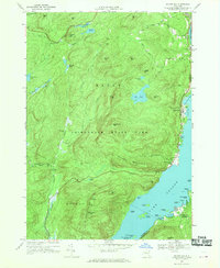
1966 Map of Silver Bay
USGS Topo · Published 1970About this map
Adirondack State Park dominates the mountainous terrain along the western shore of Lake George in this mid-1960s survey. The landscape is defined by the steep Tongue Mountain Range and numerous summits like Fivemile Mtn and Catamount Mtn, while the shoreline is dotted with historic landing points and recreational sites. Cultural landmarks are concentrated near the water, including the Union Chapel at Sabbath Day Point and the established settlement at Silver Bay.
Find a feature on this map
90 named features on this map. Tap any name to fly to it.
Don’t see what you’re looking for? This feature index may not catch every label — zoom into the map to look around manually.
Map Details
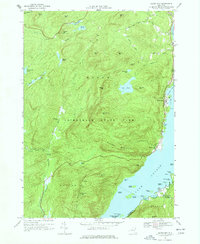
Editions of this 1966 Silver Bay Map
2 editions found
Other maps of this area

1893 · Whitehall
USGS Topo · 1:62,500

1894 · Ticonderoga
USGS Topo · 1:62,500

1895 · Whitehall
USGS Topo · 1:62,500

1895 · Paradox Lake
USGS Topo · 1:62,500

1896 · Ticonderoga
USGS Topo · 1:62,500

1897 · Bolton
USGS Topo · 1:62,500

1897 · Paradox Lake
USGS Topo · 1:62,500

1898 · Whitehall
USGS Topo · 1:62,500

1900 · Bolton
USGS Topo · 1:62,500

1902 · Whitehall
USGS Topo · 1:62,500