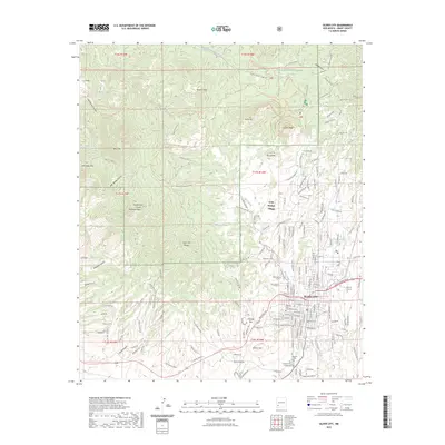
2023 Map of Silver City
USGS Topo · Published 2023About this map
Silver City serves as the focal point of this Grant County landscape, showing the town's modern footprint adjacent to the eastern edge of the Gila National Forest. The map details a transition from the urban grid, including the Western New Mexico University campus and the Grant County Courthouse, to the steep drainages and peaks of the Silver City Range. Historical mining ties are evident near Chloride Flat and along Cleveland Mine Rd, while the northern terrain is dominated by prominent heights like Stewart Peak and Gomez Peak. The Continental Divide National Scenic Trl winds through the western half of the sheet, crossing rugged canyons such as Ash Spring Canyon and Fleming Canyon. Local heritage is anchored by sites like the Saint Vincent de Paul Catholic Cem and the small residential community of Little Walnut Village.
Find a feature on this map
182 named features on this map. Tap any name to fly to it.
Don’t see what you’re looking for? This feature index may not catch every label — zoom into the map to look around manually.
Map Details
Editions of this 2023 Silver City Map
This is the sole edition of this map. No revisions or reprints were ever made.
Other maps of this area

1909 · Silver City
USGS Topo · 1:125,000

1947 · Twin Sisters
USGS Topo · 1:24,000

1947 · Fort Bayard
USGS Topo · 1:24,000

1948 · Twin Sisters
USGS Topo · 1:24,000

1949 · Fort Bayard
USGS Topo · 1:24,000

1949 · Hurley West
USGS Topo · 1:24,000

1949 · Circle Mesa
USGS Topo · 1:24,000

1950 · Tyrone
USGS Topo · 1:24,000

1950 · Dorsey Ranch
USGS Topo · 1:24,000

1950 · Wind Mountain
USGS Topo · 1:24,000