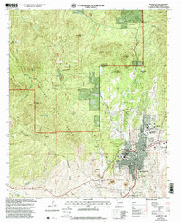
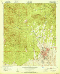
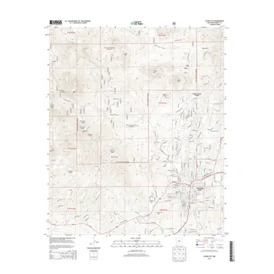
1992 Map of Silver City
USGS Topo · Published 2002About this map
Silver City stands at the transition between the high desert and the southern reaches of the Gila National Forest in the early 1990s. The map captures the city's role as a regional hub, featuring the campus of Western New Mexico University and the Gila Regional Medical Center, alongside several schools like Silver High Sch and La Plata Middle Sch. The landscape is dominated by the Silver City Range and the winding path of the Continental Divide, which separates the high mountain peaks like McComas Peak and Stewart Peak from the growing residential developments.
Find a feature on this map
40 named features on this map. Tap any name to fly to it.
Don’t see what you’re looking for? This feature index may not catch every label — zoom into the map to look around manually.
Map Details
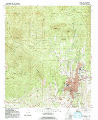
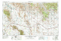
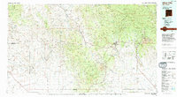
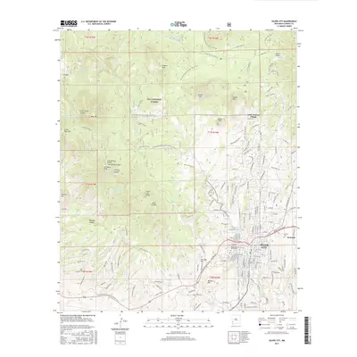
Editions of this 1992 Silver City Map
2 editions found
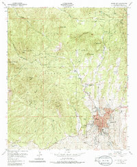
Historical Maps of Silver City Through Time
13 maps found
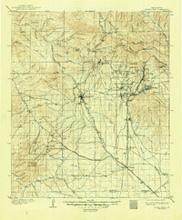
1909 Silver City
Grant County, NM
1950 Silver City
Grant County, NM
1951 Silver City
Grant County, NM
1954 Silver City
Grant County, NM

1958 Silver City
Grant County, NM

1962 Silver City
Grant County, NM
1992 Silver City
Grant County, NM
1994 Silver City
Grant County, NM
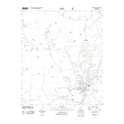
2011 Silver City
Grant County, NM
2013 Silver City
Grant County, NM
2017 Silver City
Grant County, NM
2020 Silver City
Grant County, NM
2023 Silver City
Grant County, NM