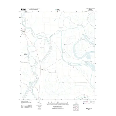
2012 Map of Silver City
USGS Topo · Published 2012About this map
The Yazoo River defines the winding geography of this Humphreys County landscape, where the water's shifting course has created a complex network of oxbows and bayous. In the early 21st century, the town of Silver City serves as a primary hub, while smaller communities and historic landing sites like Belle Prairie Landing and Wilsons Landing line the riverbanks. The map documents a hybrid of agricultural land and wetlands, evidenced by the presence of Tchula Lake, Bee Lake, and the uniquely named Boone's Deadening.
Find a feature on this map
59 named features on this map. Tap any name to fly to it.
Don’t see what you’re looking for? This feature index may not catch every label — zoom into the map to look around manually.
Map Details
Editions of this 2012 Silver City Map
This is the sole edition of this map. No revisions or reprints were ever made.
Other maps of this area

1940 · Auter
USGS Topo · 1:62,500

1940 · Mileston
USGS Topo · 1:62,500

1953 · Greenwood
USGS Topo · 1:250,000

1954 · Mileston
USGS Topo · 1:62,500

1955 · Jackson
USGS Topo · 1:250,000

1956 · Greenwood
USGS Topo · 1:250,000

1961 · Jackson
USGS Topo · 1:250,000

1961 · Bayland
USGS Topo · 1:62,500

1961 · Valley
USGS Topo · 1:62,500

1962 · Jackson
USGS Topo · 1:250,000