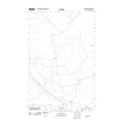
2011 Map of Silver City
USGS Topo · Published 2011About this map
Silver City serves as the focal point of this western Montana landscape, where the legacies of ranching and mining intersect along the foothills of Baldy Mountain. The presence of the Silver Creek Placer Mine and the Argo Millsite near Silver Creek underscores the region's enduring connection to mineral extraction. Water management is a primary feature of the terrain, with an intricate system of irrigation channels including the Vincent Ditch, Gans Klein Ditch, and Justissen Ditch drawing from Little Prickly Pear Creek and its many tributaries to support local agriculture.
Find a feature on this map
22 named features on this map. Tap any name to fly to it.
Don’t see what you’re looking for? This feature index may not catch every label — zoom into the map to look around manually.
Map Details
Editions of this 2011 Silver City Map
This is the sole edition of this map. No revisions or reprints were ever made.
Other maps of this area

1889 · Helena
USGS Topo · 1:250,000

1893 · Helena
USGS Topo · 1:250,000

1899 · Helena
USGS Topo · 1:62,500

1899 · Helena
USGS Topo · 1:250,000

1903 · Helena
USGS Topo · 1:250,000

1947 · Butte
USGS Topo · 1:250,000

1950 · Helena
USGS Topo · 1:62,500

1958 · Butte
USGS Topo · 1:250,000

1959 · Elliston
USGS Topo · 1:62,500

1960 · Butte
USGS Topo · 1:250,000