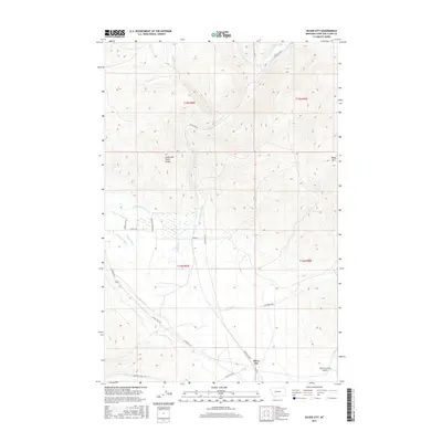
2017 Map of Silver City
USGS Topo · Published 2017About this map
Silver City sits at the southern edge of this landscape, where the foothills meet the Lewis and Clark Range. The area is defined by a sophisticated system of water management and drainage, with numerous irrigation channels such as the Gans Klein Ditch, Vincent Ditch, and Justisson Ditch crisscrossing the lower elevations near Willow Cr and Silver Cr. These features indicate the agricultural importance of the valley floors below the mountain peaks.
Find a feature on this map
25 named features on this map. Tap any name to fly to it.
Don’t see what you’re looking for? This feature index may not catch every label — zoom into the map to look around manually.
Map Details
Editions of this 2017 Silver City Map
This is the sole edition of this map. No revisions or reprints were ever made.
Other maps of this area

1889 · Helena
USGS Topo · 1:250,000

1893 · Helena
USGS Topo · 1:250,000

1899 · Helena
USGS Topo · 1:62,500

1899 · Helena
USGS Topo · 1:250,000

1903 · Helena
USGS Topo · 1:250,000

1947 · Butte
USGS Topo · 1:250,000

1950 · Helena
USGS Topo · 1:62,500

1958 · Butte
USGS Topo · 1:250,000

1959 · Elliston
USGS Topo · 1:62,500

1960 · Butte
USGS Topo · 1:250,000