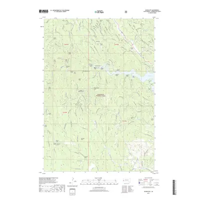
2017 Map of Silver City
USGS Topo · Published 2017About this map
Silver City sits at a geographic crossroads within the Black Hills National Forest, where the waters of Rapid Cr flow into the western reaches of the Pactola Reservoir. This modern 2017 survey details a landscape defined by its mining-era nomenclature, with dozens of named gulches and draws such as California Gulch, Jenney Gulch, and Gorman Gulch radiating from the central valley. The terrain is anchored by prominent heights including Old Bald Peak, Silver Peak, and Scruton Mtn, while the complex network of forest roads like Silver City Rd and Mystic provides access through the timbered slopes. The map reveals the modern infrastructure of the reservoir system alongside historical drainage names like Friday Gulch and Nugget Gulch, reflecting the enduring legacy of prospecting in the Pennington County hills.
Find a feature on this map
52 named features on this map. Tap any name to fly to it.
Don’t see what you’re looking for? This feature index may not catch every label — zoom into the map to look around manually.
Map Details
Editions of this 2017 Silver City Map
This is the sole edition of this map. No revisions or reprints were ever made.
Other maps of this area

1893 · Rapid
USGS Topo · 1:125,000

1894 · Deadwood
USGS Topo · 1:125,000

1894 · Hermosa
USGS Topo · 1:125,000

1896 · Harney Peak
USGS Topo · 1:125,000

1898 · Rapid
USGS Topo · 1:125,000

1901 · Hermosa
USGS Topo · 1:125,000

1901 · Harney Peak
USGS Topo · 1:125,000

1901 · Deadwood
USGS Topo · 1:125,000

1903 · Rapid
USGS Topo · 1:125,000

1916 · Deadwood
USGS Topo · 1:125,000