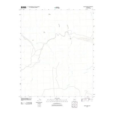
2010 Map of Silver Creek
USGS Topo · Published 2010About this map
Rio Salado carves through this arid landscape of Socorro County, passing through the distinctive canyon formation known as The Box. The settlement of Santa Rita sits near the river's path, while to the east, Silver Creek Camp marks a historical point of interest along the tributary of Silver Creek. The map documents a complex network of ephemeral drainages, including Arroyo Rendija and Cañada de la Tortola, which feed into the primary river system from the surrounding high ground. Elevations are punctuated by Cerro Colorado and deeply incised landforms like Mule Canyon and La Cueva Canyon. This survey captures the region just before the shift toward modern digital-only mapping, preserving the locations of the Rio Salado Group and the winding course of La Jencia Creek as they appeared in the early 21st century.
Find a feature on this map
13 named features on this map. Tap any name to fly to it.
Don’t see what you’re looking for? This feature index may not catch every label — zoom into the map to look around manually.
Map Details
Editions of this 2010 Silver Creek Map
This is the sole edition of this map. No revisions or reprints were ever made.
Other maps of this area

1906 · Socorro
USGS Topo · 1:62,500

1916 · La Joya
USGS Topo · 1:125,000

1952 · La Joya NW
USGS Topo · 1:24,000

1952 · San Anacia
USGS Topo · 1:24,000

1954 · Socorro
USGS Topo · 1:250,000

1958 · Socorro
USGS Topo · 1:250,000

1959 · Lemitar
USGS Topo · 1:24,000

1959 · Magdalena
USGS Topo · 1:62,500

1959 · Riley
USGS Topo · 1:62,500

1959 · Socorro
USGS Topo · 1:62,500