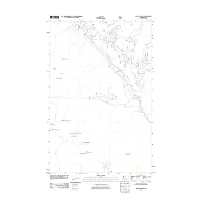
2011 Map of Silver Falls
USGS Topo · Published 2011About this map
The Entiat River drainage dominates this high-country landscape, where the water flows through narrow corridors like Box Canyon and over the landmark Silver Falls. The 2011 survey documents a network of primitive forest roads and backcountry facilities that support the region's seasonal use, including the Hunters Trail Shelter and several riverside stations such as the Falls Campground and Fox Creek Campground. High-elevation landmarks like Klone Peak and Cougar Mountain frame a terrain of distinct sub-basins, where the North Fork Entiat River joins the main stem near Snowshoe Spring. The presence of the Cougar Mountain Lookout indicates the historical importance of fire observation in these timbered reaches, while named openings like Whistling Pig Meadow and East Blue Creek Meadow offer clearings within the dense forest cover of the Entiat valley.
Find a feature on this map
40 named features on this map. Tap any name to fly to it.
Don’t see what you’re looking for? This feature index may not catch every label — zoom into the map to look around manually.
Map Details
Editions of this 2011 Silver Falls Map
This is the sole edition of this map. No revisions or reprints were ever made.
Other maps of this area

1899 · Methow
USGS Topo · 1:125,000

1901 · Chelan
USGS Topo · 1:125,000

1901 · Methow
USGS Topo · 1:125,000

1901 · Chiwaukum
USGS Topo · 1:125,000

1902 · Stehekin
USGS Topo · 1:125,000

1904 · Stehekin
USGS Topo · 1:125,000

1904 · Chiwaukum
USGS Topo · 1:125,000

1944 · Lucerne
USGS Topo · 1:62,500

1949 · Lucerne
USGS Topo · 1:62,500

1955 · Concrete
USGS Topo · 1:250,000