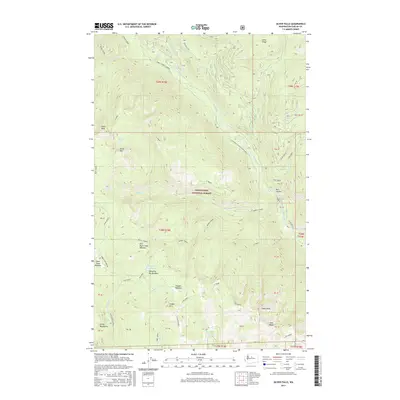
2017 Map of Silver Falls
USGS Topo · Published 2017About this map
The Entiat River carves a deep path through this portion of the Wenatchee National Forest, where high-elevation landmarks define the topography of the Entiat Mountains. This 2017 survey details a landscape of dramatic drops and seasonal meadows, anchored by the namesake Silver Falls and the nearby Entiat Falls. The map reveals an intricate network of drainage systems, including Three Cr and Tommy Cr, which flow from peaks like Klone Peak and Kelly Mtn. For those interested in the natural history of the region, the inclusion of several distinct high-country openings like Whistling Pig Meadow and East Blue Creek Meadow provides specific locations for ecological study. The terrain is marked by significant ridgelines such as Tyee Ridge and Cougar Ridge, while the Entiat River Rd provides the primary access through this steep, timbered interior of Chelan County.
Find a feature on this map
64 named features on this map. Tap any name to fly to it.
Don’t see what you’re looking for? This feature index may not catch every label — zoom into the map to look around manually.
Map Details
Editions of this 2017 Silver Falls Map
This is the sole edition of this map. No revisions or reprints were ever made.
Other maps of this area

1899 · Methow
USGS Topo · 1:125,000

1901 · Chelan
USGS Topo · 1:125,000

1901 · Methow
USGS Topo · 1:125,000

1901 · Chiwaukum
USGS Topo · 1:125,000

1902 · Stehekin
USGS Topo · 1:125,000

1904 · Stehekin
USGS Topo · 1:125,000

1904 · Chiwaukum
USGS Topo · 1:125,000

1944 · Lucerne
USGS Topo · 1:62,500

1949 · Lucerne
USGS Topo · 1:62,500

1955 · Concrete
USGS Topo · 1:250,000