
1949 Map of Silver Hill
USGS Topo · Published 1953About this map
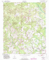
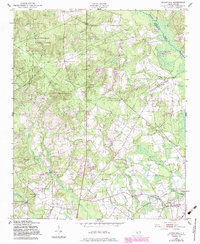
The Laurinburg and Southern railroad cuts through the heart of the Sandhills landscape, connecting the farming community of Wagram to the surrounding timber and agricultural lands of Scotland and Moore Counties. This mid-century survey reveals a rural society structured around local institutions, with scattered sites like the Nashville Sch and Shaw Sch serving as educational hubs for the countryside. In the southwestern quadrant, Monroe Mill Pond and Smith Pond indicate the historical importance of managed water for local industry or recreation. Genealogy researchers can trace numerous family-named landmarks and burial sites, including McNeill Cem, Wrights Cem, and Davis Cem. The presence of Slates Memorial Ch and St Peters Ch alongside the remnants of unspecified Ruins south of Silver Hill provides a detailed look at the settlement patterns that existed before late 20th-century modernization.
Find a feature on this map
34 named features on this map. Tap any name to fly to it.
Don’t see what you’re looking for? This feature index may not catch every label — zoom into the map to look around manually.
Map Details
Editions of this 1949 Silver Hill Map
3 editions found
Other maps of this area

1942 · Troy
USGS Topo · 1:125,000

1942 · Rockingham
USGS Topo · 1:125,000

1948 · Southern Pines
USGS Topo · 1:62,500

1948 · Pinebluff
USGS Topo · 1:24,000

1948 · Mc Cain
USGS Topo · 1:24,000

1949 · Gibson
USGS Topo · 1:24,000

1949 · Wagram
USGS Topo · 1:24,000

1949 · Laurinburg
USGS Topo · 1:24,000

1949 · Hoffman
USGS Topo · 1:24,000

1949 · Marston
USGS Topo · 1:24,000