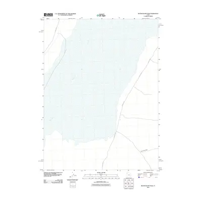
2010 Map of Silver Island Pass
USGS Topo · Published 2010About this map
Silver Island Pass serves as a geographic focus in this desert landscape, where the flat expanses of the Great Salt Lake Desert meet the rising terrain of the Silver Island Mountains. The area is defined by its isolation and the stark transit corridors that cross the salt flats. Two primary routes, Pilot Peak Rd and Silver Island Rd, navigate the periphery of the flats, providing essential access through this arid basin. The intermittent flow of Pilot Creek illustrates the transient nature of water in the region, appearing only during seasonal runoff before disappearing into the basin floor. This map captures the essential road network and drainage patterns that have dictated movement across this part of the Utah desert for decades.
Find a feature on this map
4 named features on this map. Tap any name to fly to it.
Don’t see what you’re looking for? This feature index may not catch every label — zoom into the map to look around manually.
Map Details
Editions of this 2010 Silver Island Pass Map
This is the sole edition of this map. No revisions or reprints were ever made.
Other maps of this area

1953 · Tooele
USGS Topo · 1:250,000

1954 · Brigham City
USGS Topo · 1:250,000

1955 · Tooele
USGS Topo · 1:250,000

1955 · Wells
USGS Topo · 1:250,000

1955 · Elko
USGS Topo · 1:250,000

1958 · Wells
USGS Topo · 1:250,000

1958 · Elko
USGS Topo · 1:250,000

1958 · Brigham City
USGS Topo · 1:250,000

1961 · Wells
USGS Topo · 1:250,000

1962 · Elko
USGS Topo · 1:250,000