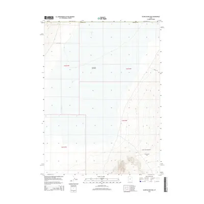
2014 Map of Silver Island Pass
USGS Topo · Published 2014About this map
The Silver Island Mountains dominate the southern portion of this Tooele County survey, rising sharply from the surrounding flats. The namesake Silver Island Pass provides a transition through the peaks, while the vast expanse of the Great Salt Lake Desert stretches across the center and north. The landscape is defined by its arid character, with ephemeral drainage from Pilot Cr and the presence of basic infrastructure like Fenceline Rd and Campbell Rd. This map captures the intersection of desert salt flats and high mountain terrain in a remote corner of Utah near the Nevada border, detailing the section lines and topography of a region marked by its stark environmental extremes.
Find a feature on this map
11 named features on this map. Tap any name to fly to it.
Don’t see what you’re looking for? This feature index may not catch every label — zoom into the map to look around manually.
Map Details
Editions of this 2014 Silver Island Pass Map
This is the sole edition of this map. No revisions or reprints were ever made.
Other maps of this area

1953 · Tooele
USGS Topo · 1:250,000

1954 · Brigham City
USGS Topo · 1:250,000

1955 · Tooele
USGS Topo · 1:250,000

1955 · Wells
USGS Topo · 1:250,000

1955 · Elko
USGS Topo · 1:250,000

1958 · Wells
USGS Topo · 1:250,000

1958 · Elko
USGS Topo · 1:250,000

1958 · Brigham City
USGS Topo · 1:250,000

1961 · Wells
USGS Topo · 1:250,000

1962 · Elko
USGS Topo · 1:250,000