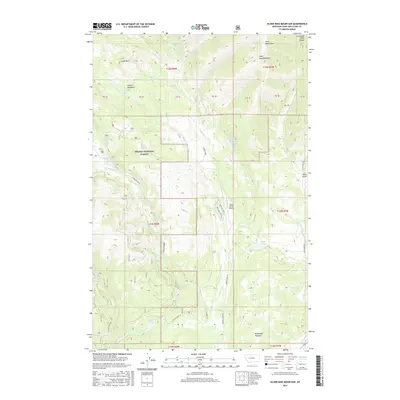
2017 Map of Silver King Mountain
USGS Topo · Published 2017About this map
Silver King Mountain dominates the northeast corner of this high-country landscape within the Helena National Forest. The map documents a rugged drainage system defined by the Landers Fork and its various tributaries, such as Indian Meadows Cr and Snowbank Cr. Local habitation and aviation appear at the Nelson Ranch Airport, while several alpine lakes including Krohn Lake, Silver King Lake, and the Keep Cool Lakes are scattered throughout the mountainous terrain. The presence of named landmarks like Indian Meadows and McDonald Meadow suggest a history of seasonal grazing or early backcountry outposts. Transportation is limited to primitive forest routes such as Copper Creek Rd, Sucker Creek Rd, and the uniquely named Brittany Blvd, which serve the remote peaks of the Lewis and Clark Range.
Find a feature on this map
40 named features on this map. Tap any name to fly to it.
Don’t see what you’re looking for? This feature index may not catch every label — zoom into the map to look around manually.
Map Details
Editions of this 2017 Silver King Mountain Map
This is the sole edition of this map. No revisions or reprints were ever made.
Other maps of this area

1889 · Helena
USGS Topo · 1:250,000

1893 · Helena
USGS Topo · 1:250,000

1899 · Helena
USGS Topo · 1:250,000

1903 · Coopers Lake
USGS Topo · 1:125,000

1903 · Helena
USGS Topo · 1:250,000

1943 · Hogan
USGS Topo · 1:125,000

1947 · Butte
USGS Topo · 1:250,000

1955 · Choteau
USGS Topo · 1:250,000

1957 · Choteau
USGS Topo · 1:250,000

1958 · Butte
USGS Topo · 1:250,000