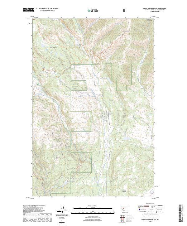
2024 Map of Silver King Mountain
USGS Topo · Published 2024About this map
Silver King Mtn and the surrounding high country of the Lewis and Clark Range dominate this modern survey of the Montana wilderness. This landscape is defined by the headwaters of the Landers Fork, where numerous alpine streams like Snowbank Creek and Baking Powder Creek descend from the ridges. The eastern portion of the Scapegoat Wilderness meets the Helena National Forest here, preserving a terrain where pack trails like the Silver King Trl and Landers Fork Trl are more prevalent than paved roads. A small pocket of private aviation and modern naming is visible at the Nelson Ranch Airport, surrounded by residential-style names such as Heavenly Pines Way and Brittany Blvd. These named lanes contrast sharply with the remote character of the Alice Mountains and Lone Mountain, as well as the secluded Keep Cool Lakes tucked into the southern timberline.
Find a feature on this map
42 named features on this map. Tap any name to fly to it.
Don’t see what you’re looking for? This feature index may not catch every label — zoom into the map to look around manually.
Map Details
Editions of this 2024 Silver King Mountain Map
This is the sole edition of this map. No revisions or reprints were ever made.
Other maps of this area

1889 · Helena
USGS Topo · 1:250,000

1893 · Helena
USGS Topo · 1:250,000

1899 · Helena
USGS Topo · 1:250,000

1903 · Coopers Lake
USGS Topo · 1:125,000

1903 · Helena
USGS Topo · 1:250,000

1943 · Hogan
USGS Topo · 1:125,000

1947 · Butte
USGS Topo · 1:250,000

1955 · Choteau
USGS Topo · 1:250,000

1957 · Choteau
USGS Topo · 1:250,000

1958 · Butte
USGS Topo · 1:250,000