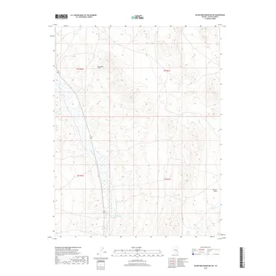
2018 Map of Silver King Mountain SW
USGS Topo · Published 2018About this map
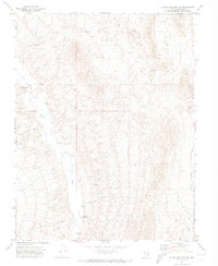
White River Valley defines this portion of Lincoln County, characterized by a persistent north-south drainage system in an otherwise arid landscape. The White River threads through the western half of the map, feeding into the Rye Patch Reservoir, a critical water management feature for the region's ranching or wildlife needs. To the east, the terrain shifts toward the expansive Dry Lake Valley, separated by the rising topography of the Silver King Mountain foothills. Minor drainages like Cherry Creek show the occasional hydraulic connection between these desert basins. The mapping reflects the stark geography of the Great Basin, where water features such as the Rye Patch Reservoir serve as the primary landmarks for navigation and land use in a region dominated by alternating alluvial fans and desert flats.
Find a feature on this map
9 named features on this map. Tap any name to fly to it.
Don’t see what you’re looking for? This feature index may not catch every label — zoom into the map to look around manually.
Map Details
Editions of this 2018 Silver King Mountain SW Map
This is the sole edition of this map. No revisions or reprints were ever made.
Other maps of this area

1885 · Pioche
USGS Topo · 1:250,000

1886 · Pioche
USGS Topo · 1:250,000

1954 · Caliente
USGS Topo · 1:250,000

1956 · Lund
USGS Topo · 1:250,000

1959 · Caliente
USGS Topo · 1:250,000

1960 · Lund
USGS Topo · 1:250,000
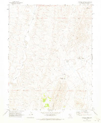
1970 · Deadman Spring
USGS Topo · 1:24,000
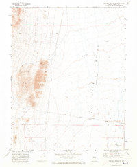
1970 · Deadman Spring NE
USGS Topo · 1:24,000
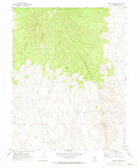
1970 · Weepah Spring
USGS Topo · 1:24,000
1971 · Silver King Mtn SW
USGS Topo · 1:24,000