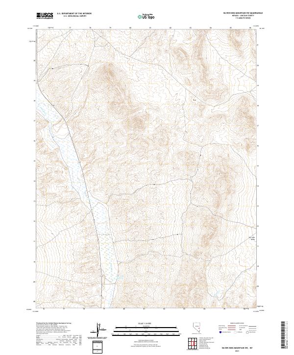
2021 Map of Silver King Mountain SW
USGS Topo · Published 2021About this map
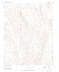
White River flows southward through the western half of this Lincoln County landscape, creating a distinct hydrological corridor against the adjacent terrain of Dry Lake Valley. The drainage system is anchored by the Rye Patch Reservoir, a primary water feature in this arid region where Cherry Cr also contributes to the local watershed. State Route 318 provides the primary north-south transit route, tracing the course of the river valley. The map clearly delineates the Public Land Survey System grids, including townships t3n r62e and t2n r63e, which are essential for land title research and identifying historical property boundaries in this part of Nevada.
Find a feature on this map
9 named features on this map. Tap any name to fly to it.
Don’t see what you’re looking for? This feature index may not catch every label — zoom into the map to look around manually.
Map Details
Editions of this 2021 Silver King Mountain SW Map
This is the sole edition of this map. No revisions or reprints were ever made.
Other maps of this area

1885 · Pioche
USGS Topo · 1:250,000

1886 · Pioche
USGS Topo · 1:250,000

1954 · Caliente
USGS Topo · 1:250,000

1956 · Lund
USGS Topo · 1:250,000

1959 · Caliente
USGS Topo · 1:250,000

1960 · Lund
USGS Topo · 1:250,000
1970 · Deadman Spring
USGS Topo · 1:24,000
1970 · Deadman Spring NE
USGS Topo · 1:24,000
1970 · Weepah Spring
USGS Topo · 1:24,000
1971 · Silver King Mtn SW
USGS Topo · 1:24,000