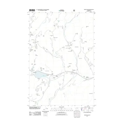
2011 Map of Silver Lake
USGS Topo · Published 2011About this map
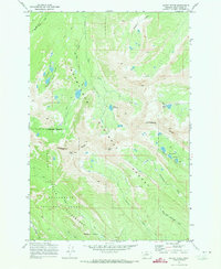
Silver Lake serves as a central landmark in this high-elevation landscape, where industrial history and modern recreation converge. The map documents a dense network of mineral extraction sites concentrated around Georgetown, including the Southern Cross, Cable Mine, and Gold Coin Mine. These operations, along with numerous prospects such as the Pleiades Mine and Orofino Mine, speak to a legacy of hard-rock mining that defined the local economy for generations.
Find a feature on this map
72 named features on this map. Tap any name to fly to it.
Don’t see what you’re looking for? This feature index may not catch every label — zoom into the map to look around manually.
Map Details
Editions of this 2011 Silver Lake Map
This is the sole edition of this map. No revisions or reprints were ever made.
Other maps of this area

1908 · Philipsburg
USGS Topo · 1:125,000

1947 · Butte
USGS Topo · 1:250,000

1958 · Butte
USGS Topo · 1:250,000

1960 · Butte
USGS Topo · 1:250,000

1962 · Butte
USGS Topo · 1:250,000

1971 · Georgetown Lake
USGS Topo · 1:24,000
1971 · West Valley
USGS Topo · 1:24,000
1971 · Philipsburg
USGS Topo · 1:24,000
1971 · Fred Burr Lake
USGS Topo · 1:24,000
1971 · Mount Evans
USGS Topo · 1:24,000