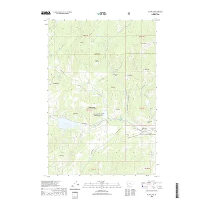
2020 Map of Silver Lake
USGS Topo · Published 2020About this map
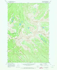
The high-elevation basin of Georgetown and the adjacent Silver Lake anchor this topographic study of the Flint Creek Range. Situated along the boundary of Anaconda-Deer Lodge County and Granite County, the landscape is defined by the headwaters of the N Fork Flint Cr and the extensive acreage of the Deerlodge National Forest. Significant local peaks like Cable Mtn and Welcome Hill overlook a network of specialized mountain roads, including the Southern Cross Rd and Cable Mountain Rd, which trace the legacy of early mining and timber access in the region.
Find a feature on this map
53 named features on this map. Tap any name to fly to it.
Don’t see what you’re looking for? This feature index may not catch every label — zoom into the map to look around manually.
Map Details
Editions of this 2020 Silver Lake Map
This is the sole edition of this map. No revisions or reprints were ever made.
Other maps of this area

1908 · Philipsburg
USGS Topo · 1:125,000

1947 · Butte
USGS Topo · 1:250,000

1958 · Butte
USGS Topo · 1:250,000

1960 · Butte
USGS Topo · 1:250,000

1962 · Butte
USGS Topo · 1:250,000

1971 · Georgetown Lake
USGS Topo · 1:24,000
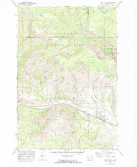
1971 · West Valley
USGS Topo · 1:24,000
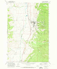
1971 · Philipsburg
USGS Topo · 1:24,000
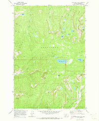
1971 · Fred Burr Lake
USGS Topo · 1:24,000
1971 · Mount Evans
USGS Topo · 1:24,000