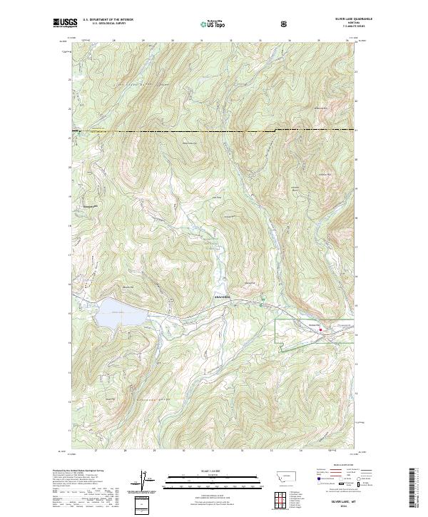
2024 Map of Silver Lake
USGS Topo · Published 2024About this map
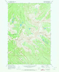
The Flint Creek Range and Anaconda Range define this high-altitude landscape in the Deerlodge National Forest, where steep slopes descend into narrow gulches and lake basins. Water is the central feature of the terrain, from the sprawling Silver Lake and Daly Lake to the headwaters of Warm Springs Creek and Storm Lake Creek. The settlement at Georgetown and the outlying area of Anaconda are linked by a network of historic thoroughfares including Old State Hwy 10 and Old Hwy 10, reflecting the region's long-standing connection to local travel and industry.
Find a feature on this map
61 named features on this map. Tap any name to fly to it.
Don’t see what you’re looking for? This feature index may not catch every label — zoom into the map to look around manually.
Map Details
Editions of this 2024 Silver Lake Map
This is the sole edition of this map. No revisions or reprints were ever made.
Other maps of this area

1908 · Philipsburg
USGS Topo · 1:125,000

1947 · Butte
USGS Topo · 1:250,000

1958 · Butte
USGS Topo · 1:250,000

1960 · Butte
USGS Topo · 1:250,000

1962 · Butte
USGS Topo · 1:250,000

1971 · Georgetown Lake
USGS Topo · 1:24,000
1971 · West Valley
USGS Topo · 1:24,000
1971 · Philipsburg
USGS Topo · 1:24,000
1971 · Fred Burr Lake
USGS Topo · 1:24,000
1971 · Mount Evans
USGS Topo · 1:24,000