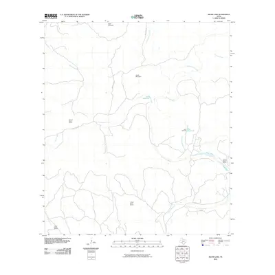
2010 Map of Silver Lake
USGS Topo · Published 2010About this map
The West Nueces River carves through this portion of Kinney County, anchoring a landscape defined by isolated ranching operations and water-driven landmarks. The map illustrates a high concentration of private aviation infrastructure essential for navigating the expansive terrain, including the De Long Ranch Airport, L Davis Ranch Airport, and Leona Ranch Airport. These landing strips alongside the winding riverbanks and seasonal drainages like Sycamore Creek reflect the logistical realities of modern West Texas ranch life.
Find a feature on this map
19 named features on this map. Tap any name to fly to it.
Don’t see what you’re looking for? This feature index may not catch every label — zoom into the map to look around manually.
Map Details
Editions of this 2010 Silver Lake Map
This is the sole edition of this map. No revisions or reprints were ever made.
Other maps of this area

1893 · Nueces
USGS Topo · 1:125,000

1896 · Nueces
USGS Topo · 1:125,000

1896 · Brackett
USGS Topo · 1:125,000

1897 · Brackett
USGS Topo · 1:125,000

1938 · Turkey Mountain
USGS Topo · 1:48,000

1943 · Turkey Mountain
USGS Topo · 1:62,500

1944 · Barksdale
USGS Topo · 1:62,500

1944 · Brackettville
USGS Topo · 1:62,500

1944 · Indian Mountain
USGS Topo · 1:62,500

1958 · Del Rio
USGS Topo · 1:250,000