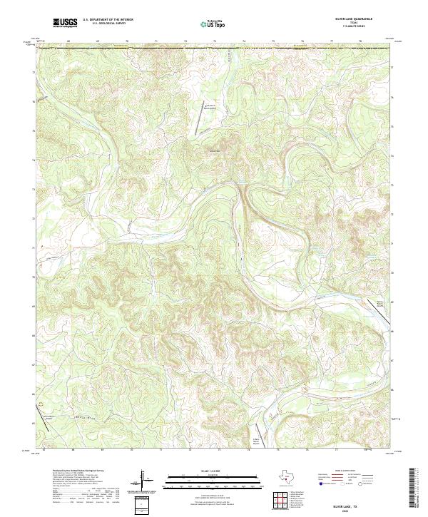
2022 Map of Silver Lake
USGS Topo · Published 2022About this map
West Nueces River carves a deep path through the limestone topography of this Kinney County landscape, where water sources are the defining landmarks for local ranching operations. The terrain is marked by significant elevations like Black Mtn and Dutch Mtn, while the drainage network includes Dry Sycamore Cr and the prominent Leona Draw to the southwest. Strategic water points such as Blue Waterhole, Dutch Waterhole, and Silver Springs serve as vital resources in this arid environment, often located near ranch headquarters.
Find a feature on this map
24 named features on this map. Tap any name to fly to it.
Don’t see what you’re looking for? This feature index may not catch every label — zoom into the map to look around manually.
Map Details
Editions of this 2022 Silver Lake Map
This is the sole edition of this map. No revisions or reprints were ever made.
Other maps of this area

1893 · Nueces
USGS Topo · 1:125,000

1896 · Nueces
USGS Topo · 1:125,000

1896 · Brackett
USGS Topo · 1:125,000

1897 · Brackett
USGS Topo · 1:125,000

1938 · Turkey Mountain
USGS Topo · 1:48,000

1943 · Turkey Mountain
USGS Topo · 1:62,500

1944 · Barksdale
USGS Topo · 1:62,500

1944 · Brackettville
USGS Topo · 1:62,500

1944 · Indian Mountain
USGS Topo · 1:62,500

1958 · Del Rio
USGS Topo · 1:250,000