Loading...
Loading map...2022 Map of Silver Lake
USGS Topo · Published 2022About this map
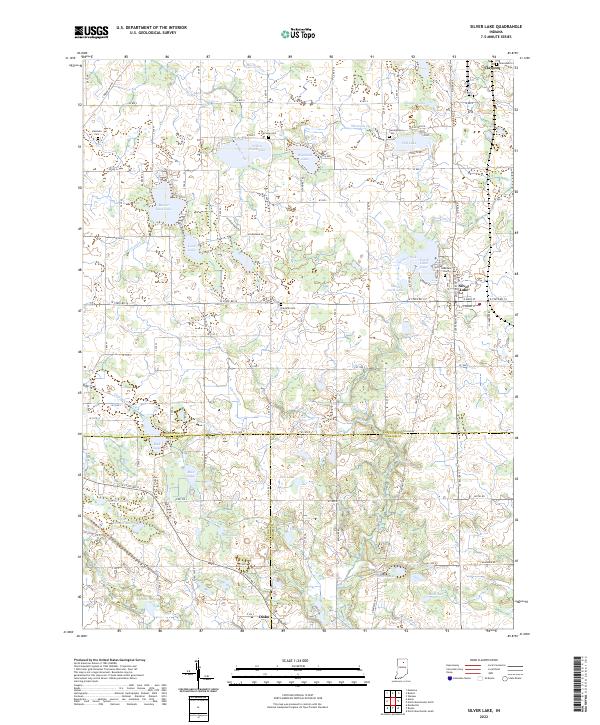
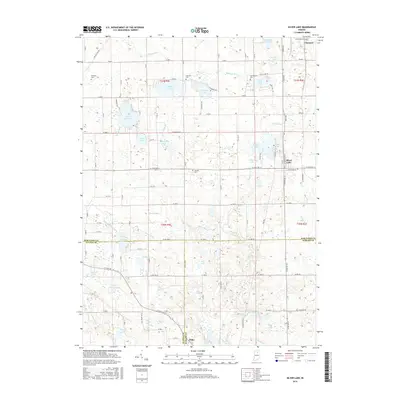
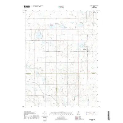
Silver Lake serves as a central hub in this northern Indiana landscape, where glacial geology has created a dense network of lakes and marshes. The map documents the town's position between North Little Lake and South Little Lake, with the Lakeview Cem overlooking the eastern shoreline. To the north, the village of Claypool marks the upper boundary of the survey, while the small settlement of Disko is located at the southern edge where Fulton Co and Wabash Co meet.
Find a feature on this map
118 named features on this map. Tap any name to fly to it.
Don’t see what you’re looking for? This feature index may not catch every label — zoom into the map to look around manually.
Map Details
Date Portrayed2022
Date Published2022
PublisherU.S. Geological Survey
Map TypeTopographic
Scale1:24,000
Physical Dimensions24 x 29 inches
Editions of this 2022 Silver Lake Map
This is the sole edition of this map. No revisions or reprints were ever made.
Historical Maps of Silver Lake Through Time
6 maps found
Featured Locations
Source Details
SourceU.S. Geological Survey
CopyrightPublic Domain