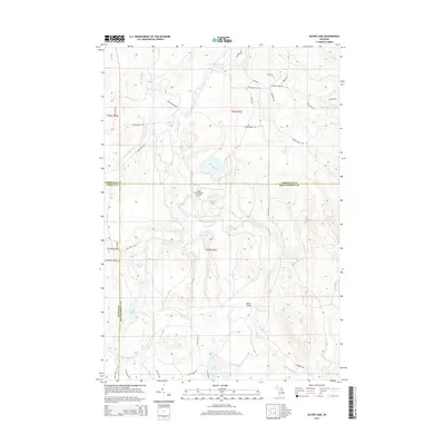
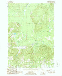
2014 Map of Silver Lake
USGS Topo · Published 2014About this map
Black River watercourses and a network of logging roads and private trails define this northern Michigan landscape at the intersection of Cheboygan, Otsego, and Montmorency counties. The presence of the Black River Ranch Airport near Silver Lake suggests a region historically developed for secluded recreational camps and land management. The terrain is marked by significant topographical variation, where names like McMasters Hollow and features like Barber Bridge indicate local landmarks within the dense forest cover.
Find a feature on this map
42 named features on this map. Tap any name to fly to it.
Don’t see what you’re looking for? This feature index may not catch every label — zoom into the map to look around manually.
Map Details
Editions of this 2014 Silver Lake Map
This is the sole edition of this map. No revisions or reprints were ever made.
Other maps of this area
1954 · Hetherton
USGS Topo · 1:62,500
1955 · Atlanta
USGS Topo · 1:62,500

1955 · Cheboygan
USGS Topo · 1:250,000
1957 · Tower
USGS Topo · 1:62,500
1957 · Onaway
USGS Topo · 1:62,500

1958 · Cheboygan
USGS Topo · 1:250,000
1982 · Petoskey
USGS Topo · 1:100,000
1986 · Onaway
USGS Topo · 1:24,000
1986 · Silver Lake
USGS Topo · 1:24,000
1986 · Saunders Creek
USGS Topo · 1:24,000