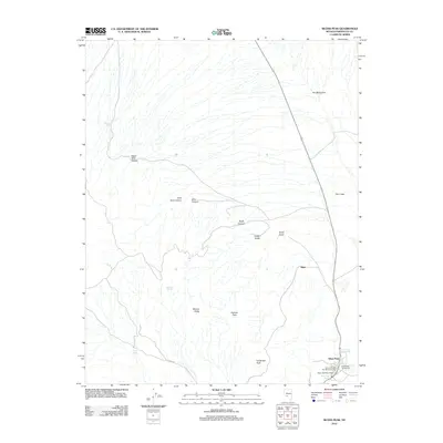
2012 Map of Silver Peak
USGS Topo · Published 2012About this map
Silver Peak and the surrounding high desert of Esmeralda County center this topographic study, capturing a landscape defined by its mining heritage and geological extremes. The town site is flanked by the Silver Peak and Red Mountain Gold mining operations and the Esmeralda County Yard, illustrating the enduring industrial footprint in this corner of Nevada. Notable geological features like The Crater and The Monocline stand out against the basin and range terrain, while labels for Mineral Ridge and Galena Flats suggest a long history of mineral exploration.
Find a feature on this map
22 named features on this map. Tap any name to fly to it.
Don’t see what you’re looking for? This feature index may not catch every label — zoom into the map to look around manually.
Map Details
Editions of this 2012 Silver Peak Map
This is the sole edition of this map. No revisions or reprints were ever made.
Other maps of this area

1898 · Silver Peak
USGS Topo · 1:125,000

1900 · Silver Peak
USGS Topo · 1:125,000

1908 · Lida
USGS Topo · 1:250,000

1913 · Lida
USGS Topo · 1:250,000

1954 · Goldfield
USGS Topo · 1:250,000

1955 · Goldfield
USGS Topo · 1:250,000

1958 · Goldfield
USGS Topo · 1:250,000

1962 · Goldfield
USGS Topo · 1:250,000
1963 · Piper Peak
USGS Topo · 1:62,500

1963 · Silver Peak
USGS Topo · 1:62,500