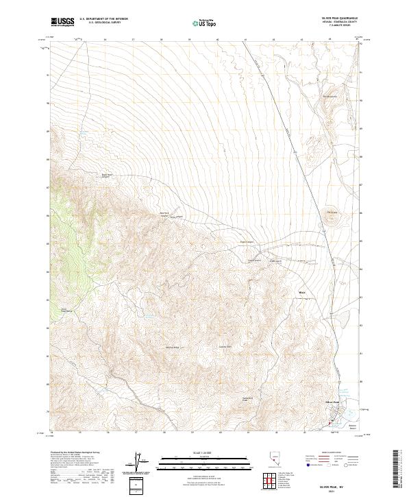
2021 Map of Silver Peak
USGS Topo · Published 2021About this map
Silver Peak and the nearby site of Blair anchor this desert landscape in Esmeralda County, where the topography transitions from the high elevations of the Silver Peak Range down to the arid expanse of the Ralston Desert. The map reveals a land defined by its geology and scarce water resources, featuring several named water sources such as Macaroni Spring, Tarantula Spring, and Coyote Spring. The eastern edge is notable for the Silver Peak Hot Springs, situated just outside the primary settlement area.
Find a feature on this map
27 named features on this map. Tap any name to fly to it.
Don’t see what you’re looking for? This feature index may not catch every label — zoom into the map to look around manually.
Map Details
Editions of this 2021 Silver Peak Map
This is the sole edition of this map. No revisions or reprints were ever made.
Other maps of this area

1898 · Silver Peak
USGS Topo · 1:125,000

1900 · Silver Peak
USGS Topo · 1:125,000

1908 · Lida
USGS Topo · 1:250,000

1913 · Lida
USGS Topo · 1:250,000

1954 · Goldfield
USGS Topo · 1:250,000

1955 · Goldfield
USGS Topo · 1:250,000

1958 · Goldfield
USGS Topo · 1:250,000

1962 · Goldfield
USGS Topo · 1:250,000
1963 · Piper Peak
USGS Topo · 1:62,500

1963 · Silver Peak
USGS Topo · 1:62,500