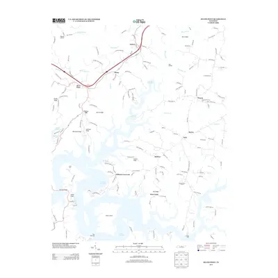
2013 Map of Silver Point
USGS Topo · Published 2013About this map
Center Hill Lake dominates the landscape of this region, its winding shoreline creating a complex network of points and ridges. Along its southern reaches, significant features like Davies Island and The Narrows define the water's path near Rock Castle and Cookeville Dock. The terrain is characterized by a series of named ridges that historically dictated settlement patterns, including Vickers Ridge, Whitefield Ridge, and Anderson Ridge.
Find a feature on this map
141 named features on this map. Tap any name to fly to it.
Don’t see what you’re looking for? This feature index may not catch every label — zoom into the map to look around manually.
Map Details
Editions of this 2013 Silver Point Map
This is the sole edition of this map. No revisions or reprints were ever made.
Other maps of this area

1893 · Mc Minnville
USGS Topo · 1:125,000

1895 · Mc Minnville
USGS Topo · 1:125,000
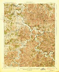
1928 · Gordonsville
USGS Topo · 1:62,500

1942 · Statesville
USGS Topo · 1:100,000
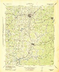
1943 · Cookeville
USGS Topo · 1:100,000
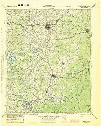
1944 · Cookeville
USGS Topo · 1:100,000
1953 · Chattanooga
USGS Topo · 1:250,000
1953 · Cookeville West
USGS Topo · 1:24,000
1955 · Baxter
USGS Topo · 1:24,000
1956 · Burgess Falls
USGS Topo · 1:24,000