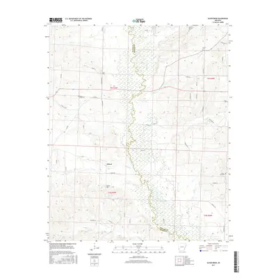
2017 Map of Silver Ridge
USGS Topo · Published 2017About this map
The Saline River winds through the central valley of this Arkansas landscape, forming a natural boundary between Howard and Sevier Counties. The area is defined by its small upland settlements and the creek systems that feed into the river basin, including Prairie Cr, Lick Cr, and Spring Cr. High ground is marked by Steele Hill, overlooking the rural community of Milford and the namesake Silver Ridge. Local history and genealogy are centered on a series of family and community burial grounds scattered across the townships, such as Mount Carmen Cem, Coulter Cem, and Kingree Chapel Cem. The transport network consists largely of county roads and private forest routes like Forest Pvt, supporting the local timber and agricultural interests typical of this region during the early twenty-first century.
Find a feature on this map
53 named features on this map. Tap any name to fly to it.
Don’t see what you’re looking for? This feature index may not catch every label — zoom into the map to look around manually.
Map Details
Editions of this 2017 Silver Ridge Map
This is the sole edition of this map. No revisions or reprints were ever made.
Other maps of this area

1906 · Caddo Gap
USGS Topo · 1:125,000

1913 · De Queen
USGS Topo · 1:125,000

1950 · Mcalester
USGS Topo · 1:250,000

1950 · Ben Lomond
USGS Topo · 1:24,000

1950 · Falls Chapel
USGS Topo · 1:24,000

1951 · Ben Lomond
USGS Topo · 1:24,000

1951 · Falls Chapel
USGS Topo · 1:24,000

1951 · Mineral Springs South
USGS Topo · 1:24,000

1951 · Lockesburg
USGS Topo · 1:24,000

1951 · Mineral Springs North
USGS Topo · 1:24,000