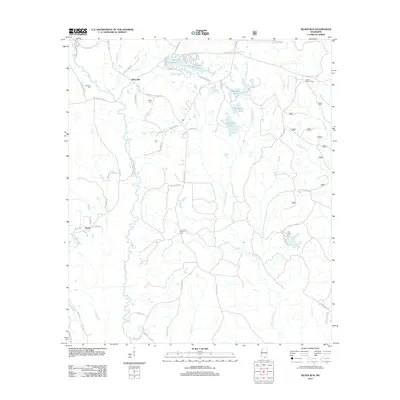
2012 Map of Silver Run
USGS Topo · Published 2012About this map
The settlement of Silver Run and its surrounding coastal plain landscape are defined by a network of family-named roads and remote water features. Small, quiet cemeteries like Dedeaux Cem, Hester Cem, and Ladner Cem are scattered across the landscape, providing essential touchpoints for genealogists researching South Mississippi families. To the east, the Little Biloxi River and its various tributaries, such as Andrew Br, carve through the terrain, while the Hickman Lookout Tower stands as a notable landmark overlooking the piney woods.
Find a feature on this map
65 named features on this map. Tap any name to fly to it.
Don’t see what you’re looking for? This feature index may not catch every label — zoom into the map to look around manually.
Map Details
Editions of this 2012 Silver Run Map
This is the sole edition of this map. No revisions or reprints were ever made.
Other maps of this area

1947 · Wiggins
USGS Topo · 1:62,500

1949 · Wiggins
USGS Topo · 1:62,500

1953 · Mobile
USGS Topo · 1:250,000

1954 · McHenry
USGS Topo · 1:62,500

1955 · Savannah
USGS Topo · 1:62,500

1957 · Mobile
USGS Topo · 1:250,000

1958 · Carnes
USGS Topo · 1:62,500

1960 · Mobile
USGS Topo · 1:250,000

1963 · Mobile
USGS Topo · 1:250,000

1965 · Mobile
USGS Topo · 1:250,000