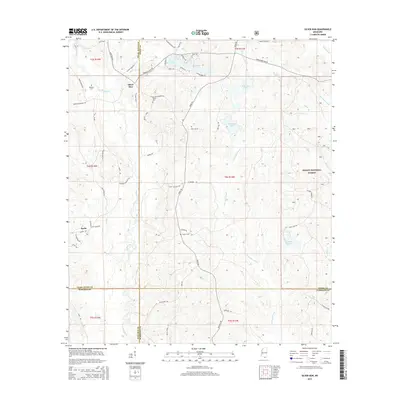
2015 Map of Silver Run
USGS Topo · Published 2015About this map
Silver Run sits at a geographic crossroads where the Wolf River drains southward through the piney woods of Pearl River County. This 2015 study captures the rural character of the region, defined by timberlands and a network of family-named roads such as Fred Ladner Rd and Tally Shaw Rd. To the east, the DeSoto National Forest preserves large tracts of the natural landscape, where the Little Biloxi River and Andrew Br carve through the terrain. The map is particularly useful for genealogical research, documenting several small burial grounds including Dedeaux Cem, Hester Cem, and Ladner Cem near the settlement of Barth. The drainage patterns are intricate, featuring numerous water bodies like Silver Run Lakes, Red Gap Lakes, and the low-lying wetland of Burd Reed Brake near the Harrison County line.
Find a feature on this map
66 named features on this map. Tap any name to fly to it.
Don’t see what you’re looking for? This feature index may not catch every label — zoom into the map to look around manually.
Map Details
Editions of this 2015 Silver Run Map
This is the sole edition of this map. No revisions or reprints were ever made.
Other maps of this area

1947 · Wiggins
USGS Topo · 1:62,500

1949 · Wiggins
USGS Topo · 1:62,500

1953 · Mobile
USGS Topo · 1:250,000

1954 · McHenry
USGS Topo · 1:62,500

1955 · Savannah
USGS Topo · 1:62,500

1957 · Mobile
USGS Topo · 1:250,000

1958 · Carnes
USGS Topo · 1:62,500

1960 · Mobile
USGS Topo · 1:250,000

1963 · Mobile
USGS Topo · 1:250,000

1965 · Mobile
USGS Topo · 1:250,000