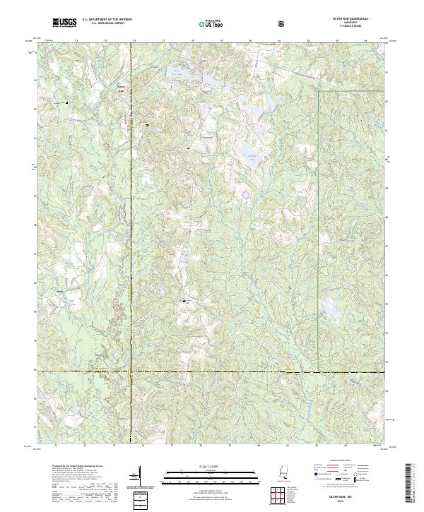
2024 Map of Silver Run
USGS Topo · Published 2024About this map
Silver Run and Barth anchor this detailed study of the south Mississippi timberlands and watershed divides. The terrain is defined by the winding course of the Wolf River in the west and the Little Biloxi River to the east, with Kaiwa Ridge forming a prominent topographic spine between the river systems. The map reveals a landscape heavily shaped by local family histories, evidenced by the numerous roads bearing names such as Lester Ladner Rd, Nic Ladnier Rd, and Coot Saucier Rd. These routes connect scattered residences and agricultural plots with several family burial sites, including the Dedeaux Cem and Ladner Cem. Much of the eastern portion of the quadrangle is managed as part of the De Soto National Forest, where smaller water features like Red Gap Lake and the wetlands of Byrd Reed Brake punctuate the pine-covered hills.
Find a feature on this map
67 named features on this map. Tap any name to fly to it.
Don’t see what you’re looking for? This feature index may not catch every label — zoom into the map to look around manually.
Map Details
Editions of this 2024 Silver Run Map
This is the sole edition of this map. No revisions or reprints were ever made.
Other maps of this area

1947 · Wiggins
USGS Topo · 1:62,500

1949 · Wiggins
USGS Topo · 1:62,500

1953 · Mobile
USGS Topo · 1:250,000

1954 · McHenry
USGS Topo · 1:62,500

1955 · Savannah
USGS Topo · 1:62,500

1957 · Mobile
USGS Topo · 1:250,000

1958 · Carnes
USGS Topo · 1:62,500

1960 · Mobile
USGS Topo · 1:250,000

1963 · Mobile
USGS Topo · 1:250,000

1965 · Mobile
USGS Topo · 1:250,000