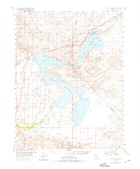
1957 Map of Silver Springs
USGS Topo · Published 1976About this map
Lahontan Reservoir dominates the center of this landscape, its fingers reaching into the surrounding desert basins at the foot of the Virginia Range and the Dead Camel Mountains. The Lahontan Dam and its associated infrastructure, including the Power House and Control House, mark the industrial management of the Carson River as it enters the Lahontan Valley. To the west, the nascent grid of Silver Springs is visible, featuring a network of early streets such as Lake Ave, Citrus St, and Appian Way, alongside the Churchill Landing Strip.
Find a feature on this map
37 named features on this map. Tap any name to fly to it.
Don’t see what you’re looking for? This feature index may not catch every label — zoom into the map to look around manually.
Map Details
Editions of this 1957 Silver Springs Map
3 editions found

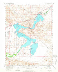
Other maps of this area

1890 · Wadsworth
USGS Topo · 1:125,000

1891 · Wabuska
USGS Topo · 1:125,000

1892 · Wadsworth
USGS Topo · 1:125,000

1894 · Wadsworth
USGS Topo · 1:125,000

1894 · Wabuska
USGS Topo · 1:125,000

1908 · Carson Sink
USGS Topo · 1:250,000

1910 · Carson Sink
USGS Topo · 1:250,000

1951 · Soda Lake
USGS Topo · 1:62,500

1951 · Weber Reservoir
USGS Topo · 1:62,500

1951 · Fallon
USGS Topo · 1:62,500