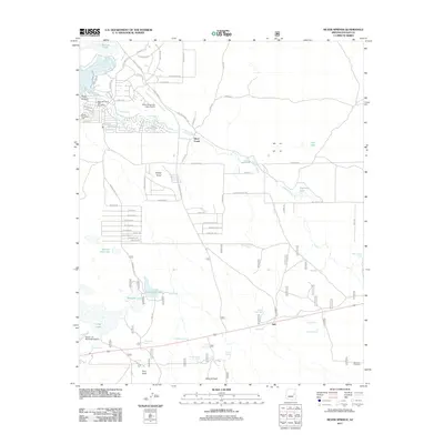
2011 Map of Silver Springs
USGS Topo · Published 2011About this map
Silver Creek flows through this portion of Navajo County, anchoring a landscape where aviation and water management define the settlement pattern. The northern area is dominated by the residential and recreational development around White Mountain Lake, supported by the White Mountain Lake Post Office and its namesake airport. This 2011 survey captures the transition from these concentrated communities into the open ranching and grazing lands to the south and east.
Find a feature on this map
91 named features on this map. Tap any name to fly to it.
Don’t see what you’re looking for? This feature index may not catch every label — zoom into the map to look around manually.
Map Details
Editions of this 2011 Silver Springs Map
This is the sole edition of this map. No revisions or reprints were ever made.
Other maps of this area

1886 · St Johns
USGS Topo · 1:250,000
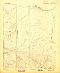
1886 · Holbrook
USGS Topo · 1:250,000
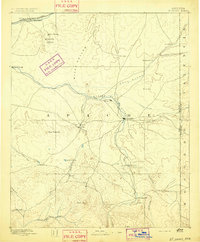
1892 · St Johns
USGS Topo · 1:250,000
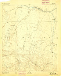
1893 · Holbrook
USGS Topo · 1:250,000
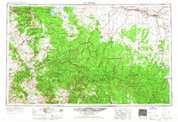
1954 · Holbrook
USGS Topo · 1:250,000
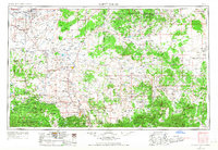
1954 · Saint Johns
USGS Topo · 1:250,000
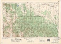
1957 · Holbrook
USGS Topo · 1:250,000
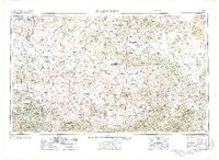
1957 · Saint Johns
USGS Topo · 1:250,000
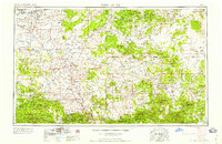
1958 · Saint Johns
USGS Topo · 1:250,000
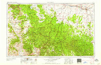
1958 · Holbrook
USGS Topo · 1:250,000