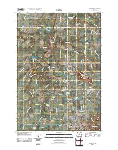
2011 Map of Silverton
USGS Topo · Published 2011About this map
Silverton and Mount Angel anchor this Willamette Valley landscape, defined by a dense network of drainage canals and small agricultural reservoirs. The complex hydrology of the Pudding River and its many tributaries, including Zollner Creek and Abiqua Creek, is managed through engineered features like Walker Ditch and the Schiedler Reservoir. The map reveals a deeply rooted rural community, marked by numerous small family and parish burial grounds such as the Essen Family Cemetery and the Saint Paul Catholic Cemetery. Cultural and historic landmarks are prominent, including the Gallon House Bridge over Abiqua Creek and the Mount Angel Abbey Cemetery overlooking the town. The presence of the Bethany Pioneer Cemetery and Belle Passi School highlights the early settlement history that persists alongside contemporary agricultural operations and the Evergreen Golf Course.
Find a feature on this map
110 named features on this map. Tap any name to fly to it.
Don’t see what you’re looking for? This feature index may not catch every label — zoom into the map to look around manually.
Map Details
Editions of this 2011 Silverton Map
This is the sole edition of this map. No revisions or reprints were ever made.
Other maps of this area
1923 · Mount Angel
USGS Topo · 1:62,500
1925 · Stayton
USGS Topo · 1:62,500
1939 · Molalla
USGS Topo · 1:62,500
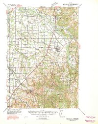
1940 · Molalla
USGS Topo · 1:62,500
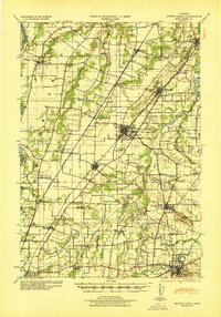
1940 · Mount Angel
USGS Topo · 1:62,500
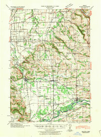
1941 · Stayton
USGS Topo · 1:62,500

1948 · Vancouver
USGS Topo · 1:250,000
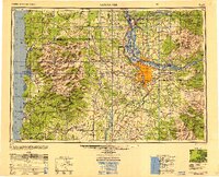
1950 · Vancouver
USGS Topo · 1:250,000
1950 · Vancouver
USGS Topo · 1:250,000
1951 · Lyons
USGS Topo · 1:62,500