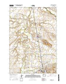
2017 Map of Silverton
USGS Topo · Published 2017About this map
Silverton and Mount Angel serve as the primary hubs in this part of Marion County, where the agricultural landscape of the Willamette Valley is defined by a complex network of creeks and irrigation ditches. The prominent heights of Mt Angel Seminary and the Mount Angel Abbey Cem overlook the surrounding lowlands, while smaller settlements like McKee and Downs mark historic crossroads in the valley.
Find a feature on this map
134 named features on this map. Tap any name to fly to it.
Don’t see what you’re looking for? This feature index may not catch every label — zoom into the map to look around manually.
Map Details
Editions of this 2017 Silverton Map
This is the sole edition of this map. No revisions or reprints were ever made.
Other maps of this area
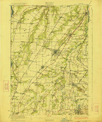
1923 · Mount Angel
USGS Topo · 1:62,500
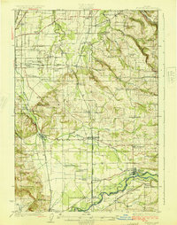
1925 · Stayton
USGS Topo · 1:62,500
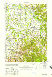
1939 · Molalla
USGS Topo · 1:62,500
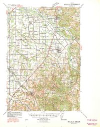
1940 · Molalla
USGS Topo · 1:62,500
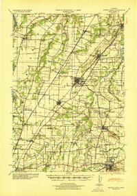
1940 · Mount Angel
USGS Topo · 1:62,500
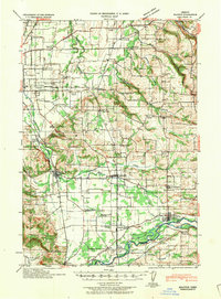
1941 · Stayton
USGS Topo · 1:62,500

1948 · Vancouver
USGS Topo · 1:250,000

1950 · Vancouver
USGS Topo · 1:250,000

1950 · Vancouver
USGS Topo · 1:250,000
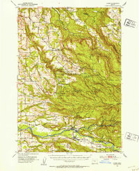
1951 · Lyons
USGS Topo · 1:62,500