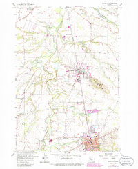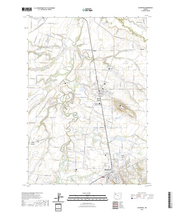
2023 Map of Silverton
USGS Topo · Published 2023About this map
Silverton and Mount Angel anchor this Willamette Valley landscape, where deep agricultural roots are evidenced by a remarkably dense network of family and religious burial grounds. The spiritual and educational significance of the area is centered at Mt Angel, featuring the Mount Angel Abbey and Mount Angel Seminary. The surrounding countryside is dotted with historic markers of community life, from the Old Believers Bethlehem Cem in the north to the Bethany Pioneer Cem near the southern edge. The hydrology of the region is defined by the Pudding River and its various tributaries like Abiqua Creek and Zollner Creek, which cut through the fertile reaches of Elliott Prairie and Howell Prairie. Irrigation and water management are prominent through features like Walker Ditch and several private reservoirs, including Beyer Reservoir and Aarhus Reservoir, supporting the intensive cultivation long associated with Marion County.
Find a feature on this map
142 named features on this map. Tap any name to fly to it.
Don’t see what you’re looking for? This feature index may not catch every label — zoom into the map to look around manually.
Map Details
Editions of this 2023 Silverton Map
This is the sole edition of this map. No revisions or reprints were ever made.