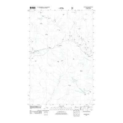
2011 Map of Silverton
USGS Topo · Published 2011About this map
Silverton serves as the focal point of this 2011 survey, situated along the South Fork Stillaguamish River where Silver Gulch and Marble Gulch meet the valley floor. This area of the Cascades reflects a history of extraction and recreation, evidenced by the Saint Louis Mine and Bonanza Queen Mine located in the surrounding steep terrain. The landscape is defined by high peaks such as Big Four Mountain and Vesper Peak, with numerous glacial lakes including Kelcema Lake, Copper Lake, and Independence Lake dotting the drainages. Forest Service infrastructure is prominent, featuring numerous campgrounds like Dick Sperry Campground and Perry Creek Campground, alongside the Blackjack Lookout and Coal Lake Viewpoint. This map documents the road network and 4WD tracks that provide access to these remote sites within the National Forest, capturing the geography of this mountain corridor in the early 21st century.
Find a feature on this map
46 named features on this map. Tap any name to fly to it.
Don’t see what you’re looking for? This feature index may not catch every label — zoom into the map to look around manually.
Map Details
Editions of this 2011 Silverton Map
This is the sole edition of this map. No revisions or reprints were ever made.
Other maps of this area

1899 · Glacier Peak
USGS Topo · 1:125,000

1899 · Stillaguamish
USGS Topo · 1:125,000

1901 · Glacier Peak
USGS Topo · 1:125,000

1901 · Stilaguamish
USGS Topo · 1:125,000

1902 · Skykomish
USGS Topo · 1:125,000

1905 · Skykomish
USGS Topo · 1:125,000

1921 · Sultan
USGS Topo · 1:125,000

1923 · Sultan
USGS Topo · 1:125,000

1955 · Concrete
USGS Topo · 1:250,000

1957 · Silverton
USGS Topo · 1:62,500