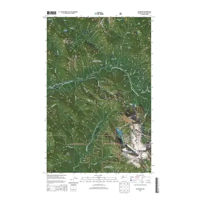
2014 Map of Silverton
USGS Topo · Published 2014About this map
The S Fork Stillaguamish River carves through a high-altitude landscape dominated by the protected lands of the Mount Baker National Forest and Snoqualmie National Forest. At the center of the sheet lies Silverton, a mountain settlement surrounded by an extensive network of outdoor recreation sites, including Camp Silverton-Waldheim and the Dick Sperry Campground. The topography is defined by dramatic peaks and passes such as Bald Mtn, Marble Pass, and the 6,214-foot Vesper Peak.
Find a feature on this map
49 named features on this map. Tap any name to fly to it.
Don’t see what you’re looking for? This feature index may not catch every label — zoom into the map to look around manually.
Map Details
Editions of this 2014 Silverton Map
This is the sole edition of this map. No revisions or reprints were ever made.
Other maps of this area

1899 · Glacier Peak
USGS Topo · 1:125,000

1899 · Stillaguamish
USGS Topo · 1:125,000

1901 · Glacier Peak
USGS Topo · 1:125,000

1901 · Stilaguamish
USGS Topo · 1:125,000

1902 · Skykomish
USGS Topo · 1:125,000

1905 · Skykomish
USGS Topo · 1:125,000

1921 · Sultan
USGS Topo · 1:125,000

1923 · Sultan
USGS Topo · 1:125,000

1955 · Concrete
USGS Topo · 1:250,000

1957 · Silverton
USGS Topo · 1:62,500