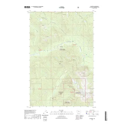
2020 Map of Silverton
USGS Topo · Published 2020About this map
Silverton lies along the banks of the South Fork Stillaguamish River, serving as a central point in this alpine landscape of Snohomish County. The terrain is defined by the sharp transition between the Mount Baker National Forest to the north and the Snoqualmie National Forest to the south. This 2020 survey illustrates the complex drainage systems that feed the Stillaguamish, including Marten Creek and Deer Creek, while highlighting numerous high-altitude basins like Independence Lake and Copper Lake. Significant landmarks such as the Big Four Ice Caves near Big Four Mtn and the prominent Vesper Peak show the geological character of the region. The map provides a detailed view of the peaks and passes, such as Marble Pass and Deer Creek Pass, that have shaped transit and recreation throughout this part of the Cascades.
Find a feature on this map
44 named features on this map. Tap any name to fly to it.
Don’t see what you’re looking for? This feature index may not catch every label — zoom into the map to look around manually.
Map Details
Editions of this 2020 Silverton Map
This is the sole edition of this map. No revisions or reprints were ever made.
Other maps of this area

1899 · Glacier Peak
USGS Topo · 1:125,000

1899 · Stillaguamish
USGS Topo · 1:125,000

1901 · Glacier Peak
USGS Topo · 1:125,000

1901 · Stilaguamish
USGS Topo · 1:125,000

1902 · Skykomish
USGS Topo · 1:125,000

1905 · Skykomish
USGS Topo · 1:125,000

1921 · Sultan
USGS Topo · 1:125,000

1923 · Sultan
USGS Topo · 1:125,000

1955 · Concrete
USGS Topo · 1:250,000

1957 · Silverton
USGS Topo · 1:62,500