
1963 Map of Simeonof Island D-1
USGS Topo · Published 1967About this map
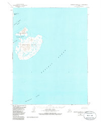
Simeonof Island anchors this remote maritime survey, which depicts the island's unique ecosystem as it was managed in the early 1960s. Encompassed by the Simeonof National Wildlife Refuge, the island features a complex topography of low-lying wetlands and rising ridges, punctuated by the sheltered waters of Simeonof Harbor. To the northwest, the Twelve Fathom Strait separates the main island from Little Koniuji Island, while the Murie Islets lie just off the western coast. The map provides a detailed record of the surrounding maritime environment, including the depths of the Shumagin Bank and the open expanse of the Pacific Ocean. This 1960s data reflects a landscape defined by its status as a protected wilderness, where the lack of roads or established trails highlights its role as a sanctuary for sea otters and diverse bird populations within the Shumagin Islands chain.
Find a feature on this map
8 named features on this map. Tap any name to fly to it.
Don’t see what you’re looking for? This feature index may not catch every label — zoom into the map to look around manually.
Map Details
Editions of this 1963 Simeonof Island D-1 Map
2 editions found
Other maps of this area

1951 · Stepovak Bay
USGS Topo · 1:250,000
1963 · Simeonof Island D-2
USGS Topo · 1:63,360
1963 · Stepovak Bay A-5
USGS Topo · 1:63,360

1963 · Simeonof Island
USGS Topo · 1:250,000

1963 · Stepovak Bay
USGS Topo · 1:250,000

1967 · Simeonof Island
USGS Topo · 1:250,000

1969 · Stepovak Bay
USGS Topo · 1:250,000
2020 · Simeonof Island D-2 NE
USGS Topo · 1:25,000
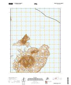
2020 · Simeonof Island D-1 NW
USGS Topo · 1:25,000
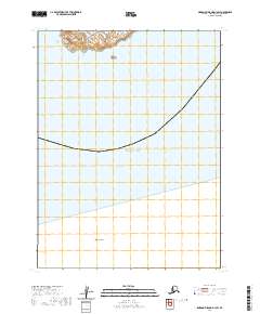
2020 · Simeonof Island D-1 SW
USGS Topo · 1:25,000