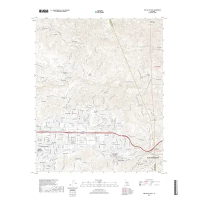
2018 Map of Simi Valley East
USGS Topo · Published 2018About this map
Simi Valley is shown here during a period of sustained suburban development, characterized by a grid of residential streets that meet the canyon-riven slopes of the Simi Hills. The transition from urbanized floor to the high ground of Big Mtn and Rocky Peak is punctuated by a dense network of utility and fire roads, such as the Salt Creek Fire Rd and Middle Ridge Fire Rd. This interface between human settlement and the steep topography of the Transverse Ranges is a defining feature of the area's geography.
Find a feature on this map
71 named features on this map. Tap any name to fly to it.
Don’t see what you’re looking for? This feature index may not catch every label — zoom into the map to look around manually.
Map Details
Editions of this 2018 Simi Valley East Map
This is the sole edition of this map. No revisions or reprints were ever made.
Other maps of this area

1900 · Triunfo Pass
USGS Topo · 1:62,500

1900 · Piru
USGS Topo · 1:62,500

1903 · Calabasas
USGS Topo · 1:62,500

1903 · Camulos
USGS Topo · 1:125,000

1903 · Santa Susana
USGS Topo · 1:62,500

1921 · Piru
USGS Topo · 1:62,500

1921 · Triunfo Pass
USGS Topo · 1:62,500

1925 · Chatsworth
USGS Topo · 1:24,000

1927 · Chatsworth
USGS Topo · 1:24,000
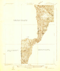
1929 · Chatsworth
USGS Topo · 1:24,000
Featured Places
- Los Angeles, CA
- Simi Valley, CA
- Unincorporated Chatsworth, CA
- Santa Susana, CA
- Alamo Villas, Simi Valley