
1970 Map of Simla
USGS Topo · Published 1979About this map
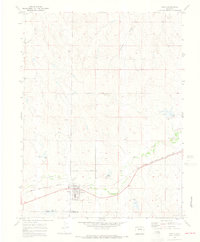
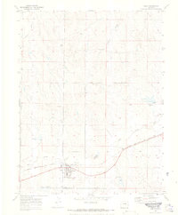
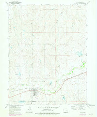
Simla serves as the primary hub of activity in this high plains landscape of Elbert County, anchored by the Chicago Rock Island and Pacific railroad corridor. The town's layout is clearly defined by local landmarks like the Athletic Field, Water Tanks, and a Cem on its outskirts. The surrounding terrain is carved by the winding course of Big Sandy Creek and its tributaries, including Reed Creek and Sixshooter Gulch, which dictate the drainage patterns of the region. Updated with 1970s aerial revisions, the map illustrates the late-century configuration of rural infrastructure, such as Washington Ave and Simla Road, while documenting the precise boundary between Elbert Co and El Paso Co. This survey provides a clear look at the intersection of rail-based commerce and the high-altitude hydrology of the western plains.
Find a feature on this map
13 named features on this map. Tap any name to fly to it.
Don’t see what you’re looking for? This feature index may not catch every label — zoom into the map to look around manually.
Map Details
Editions of this 1970 Simla Map
4 editions found
Other maps of this area

1891 · Limon
USGS Topo · 1:125,000

1892 · Limon
USGS Topo · 1:125,000

1953 · Denver
USGS Topo · 1:250,000

1954 · Limon
USGS Topo · 1:250,000

1957 · Denver
USGS Topo · 1:250,000

1957 · Limon
USGS Topo · 1:250,000

1958 · Limon
USGS Topo · 1:250,000

1958 · Denver
USGS Topo · 1:250,000

1960 · Denver
USGS Topo · 1:250,000
1970 · Matheson SW
USGS Topo · 1:24,000