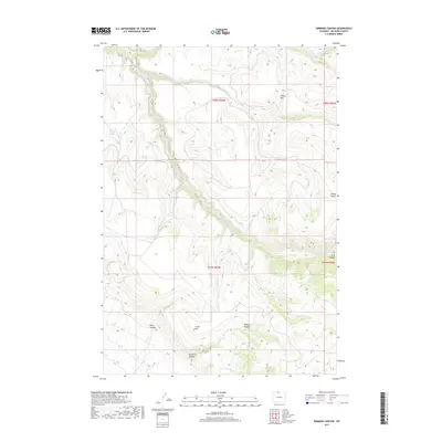
2017 Map of Simmons Canyon
USGS Topo · Published 2017About this map
Little Mtn rises above a complex network of drainages and seasonal water sources in this northern Wyoming landscape. The terrain is defined by deep incisions like Simmons Canyon, Petes Canyon, and the dramatic Devil Canyon to the east. These physical features dictated the historical movement and land use in the region, evidenced by the scattered development of water resources such as Dipping Vat Springs and Oasis Spring. The presence of the High Ditch in the southern portion of the quadrangle suggests the importance of water management and irrigation in this high-elevation environment. Other prominent landmarks including Winter Hill and Dugan Bench provide significant navigational points for those tracing historical land patents or topographical shifts in Big Horn County.
Find a feature on this map
27 named features on this map. Tap any name to fly to it.
Don’t see what you’re looking for? This feature index may not catch every label — zoom into the map to look around manually.
Map Details
Editions of this 2017 Simmons Canyon Map
This is the sole edition of this map. No revisions or reprints were ever made.
Other maps of this area

1894 · St. Xavier
USGS Topo · 1:125,000

1898 · Bald Mountain
USGS Topo · 1:125,000

1901 · St. Xavier
USGS Topo · 1:125,000

1901 · Bald Mountain
USGS Topo · 1:125,000

1954 · Billings
USGS Topo · 1:250,000

1954 · Hardin
USGS Topo · 1:250,000

1955 · Cody
USGS Topo · 1:250,000

1955 · Sheridan
USGS Topo · 1:250,000

1957 · Hardin
USGS Topo · 1:250,000

1957 · Billings
USGS Topo · 1:250,000