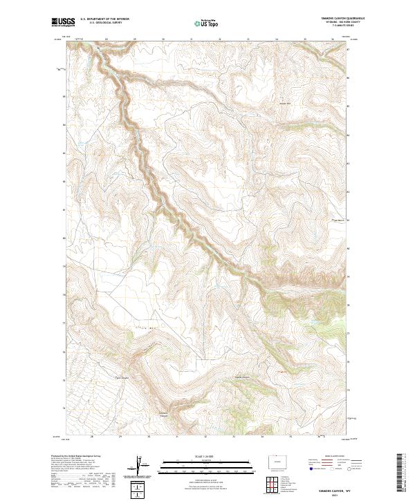
2021 Map of Simmons Canyon
USGS Topo · Published 2021About this map
Simmons Canyon and the surrounding high-desert plateaus of Big Horn County define this landscape, where seasonal drainages and remote springs provided essential water for range life. The terrain is dominated by the massive profile of Little Mtn, which is deeply incised by Pete's Canyon and Vopats Canyon. These geological features, alongside Devil Canyon in the northwest, illustrate the complex erosion patterns characteristic of the Bighorn Basin's eastern margins. Evidence of ranching and water management appears through landmarks like Dipping Vat Springs and the High Ditch, which trace the efforts to utilize scarce water resources in an arid environment. Named springs such as Godes Springs, Richs Spring, and East Trough Spring are scattered throughout the draws, serving as vital landmarks for those navigating the transition from Dugan Bench to the higher elevations of Winter Hill.
Find a feature on this map
28 named features on this map. Tap any name to fly to it.
Don’t see what you’re looking for? This feature index may not catch every label — zoom into the map to look around manually.
Map Details
Editions of this 2021 Simmons Canyon Map
This is the sole edition of this map. No revisions or reprints were ever made.
Other maps of this area

1894 · St. Xavier
USGS Topo · 1:125,000

1898 · Bald Mountain
USGS Topo · 1:125,000

1901 · St. Xavier
USGS Topo · 1:125,000

1901 · Bald Mountain
USGS Topo · 1:125,000

1954 · Billings
USGS Topo · 1:250,000

1954 · Hardin
USGS Topo · 1:250,000

1955 · Cody
USGS Topo · 1:250,000

1955 · Sheridan
USGS Topo · 1:250,000

1957 · Hardin
USGS Topo · 1:250,000

1957 · Billings
USGS Topo · 1:250,000