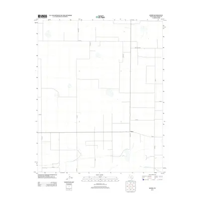
2012 Map of Simms
USGS Topo · Published 2012About this map
Simms serves as the focal point of this high plains landscape, situated at a junction where local commerce and transit meet in the Texas Panhandle. The area is defined by a rigorous grid of section lines and rural thoroughfares, including Co Road NN and FM 1412, which partition the vast agricultural reaches of Deaf Smith County. To the south, the terrain is interrupted by the meandering course of Palo Duro Cr, a vital drainage feature in this semi-arid region. The mapping reflects the enduring structure of the Great Plains cattle and farming economy, where travel is dictated by long, straight stretches such as Ranch Road 2587. This survey captures the spatial organization of a community deeply tied to land use and water access at the beginning of the twenty-first century.
Find a feature on this map
16 named features on this map. Tap any name to fly to it.
Don’t see what you’re looking for? This feature index may not catch every label — zoom into the map to look around manually.
Map Details
Editions of this 2012 Simms Map
This is the sole edition of this map. No revisions or reprints were ever made.
Other maps of this area

1954 · Tucumcari
USGS Topo · 1:250,000

1954 · Clovis
USGS Topo · 1:250,000

1958 · Clovis
USGS Topo · 1:250,000

1958 · Tucumcari
USGS Topo · 1:250,000

1966 · Boise
USGS Topo · 1:24,000

1966 · Overstreet Lake
USGS Topo · 1:24,000

1966 · Simms NW
USGS Topo · 1:24,000

1966 · Simms
USGS Topo · 1:24,000

1966 · Simms NE
USGS Topo · 1:24,000

1966 · Norton Lake
USGS Topo · 1:24,000